Navigation Trail
Statistics
- Date - 06/03/2000
- Elevation - < 7,000'
- Route - Trail No. 291
- Miles - 12.0
- Elevation Gain - 200'
- ACME Mapper - Link
- CalTopo - Link
- Partners - Not Applicable
Description
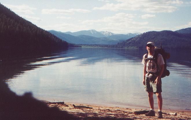
Navigation Trail is located on the west shores of Upper Priest Lake, which is located approximately 45 miles north of Priest River, Idaho. After calling around to the local Ranger Stations, I determined that this would be a good trail to take for my first backpacking trip of the year. We had 70 degree weather all weekend, but there is still a considerable amount of snow above 5,000'. So I avoid the snow, it was a very mild hike in terms of difficulty. About 1.5 miles into the hike was Armstrong Meadows where the trail was considerably wet and muddy. Aside from that, the rest of it was already maintained and looked as though several bikers had already been in the area. After the meadows you reach Pioneer Cabin and Plowboy Campground at 3 miles. The cabin has definitely seen its better days, and there were no campers at Plowboy. From here, you hike along Upper Priest Lake for most of the way until reaching Navigation Campground. This lake is only accessible by foot travel, bike, or water transportation. Across the lake from Navigation Campground is Trapper Creek Campground. I was under the impression that both sites get most of their use from boaters.
I set up camp, had some dinner and then shared a campfire with another couple that was backpacking before turning in for the night. I think that my wife's complaining about me hiking alone may have had an effect on my sleeping. She discouraged me from going and warned me about being in bear country. Although I slept ok, I did have a dream that several bears visited me during the night and disturbed my camp. She must have psyched me out or something. I hiked out early the next morning as I watched the sun rise over the mountains to the east of the lake. I saw my first two moose of the season too as I startled a cow and calf near Armstrong Meadows on my way out.
Photos
 Upper Priest Lake
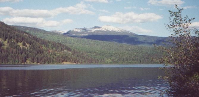
 Lookout Mountain
