
Mount Princeton/Tigger Peak
Statistics
- Date - 09/24/2004
- Elevation - 14,197'/13,300'
- Route - East Slopes/West Ridge
- Miles - 6.2
- Elevation Gain - 3,497'
- ACME Mapper - Link
- CalTopo - Link
- Partners - Not Applicable
Description
After being on both the Como Lake Road and South Colony Lake Road, I felt like I was on an interstate driving up the Mount Princeton Road. I drove up late Thursday night after hiking Culebra Peak and Red Mountain earlier in the day. I was a bit worn out from the day and wasn't at all interested in an alpine start. I actually chose to hike Mount Princeton because of its ease. I took the standard route starting at the four-wheel-drive parking lot at 11,000'. Despite being tired, I made descent time and gained 1,700' in 1 hour and 20 minutes. I finished climbing to the summit, which I had to myself for a half an hour. Since it was only another 300' to hike Tigger Peak also, I made the ridge traverse over to that summit. Continuing on the ridge, I dropped back down to the Mount Princeton Road and jogged back to my vehicle. I stopped off at Casa Del Sol in Buena Vista, Colorado, for lunch before heading back home. My total trail time was 5 hours and 25 minutes.
Photos
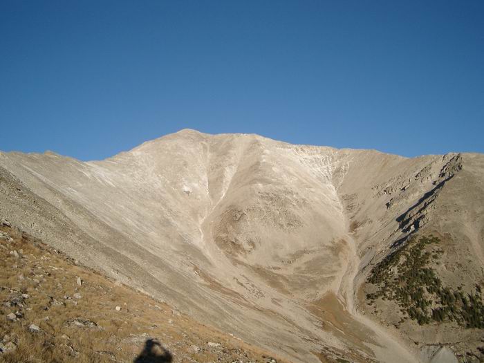 Mount Princeton on the approach.
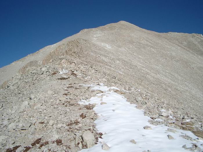 Mount Princeton East Slopes
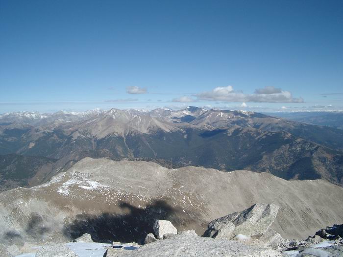 Views to the North
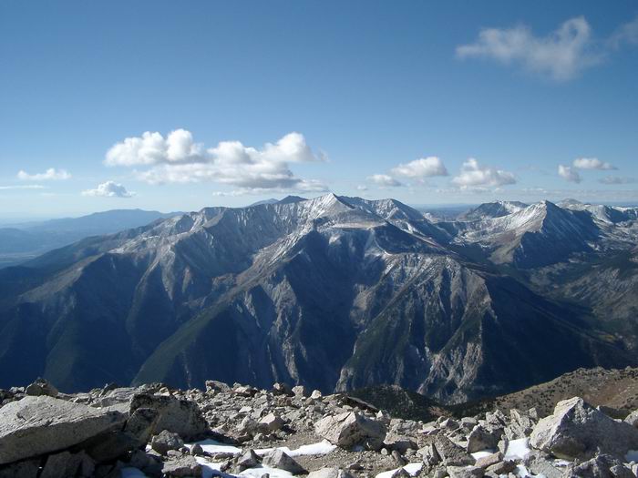 Views to the South
 Tigger Peak from Mount Princeton
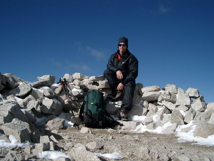 Summit Photo (Mount Princeton)
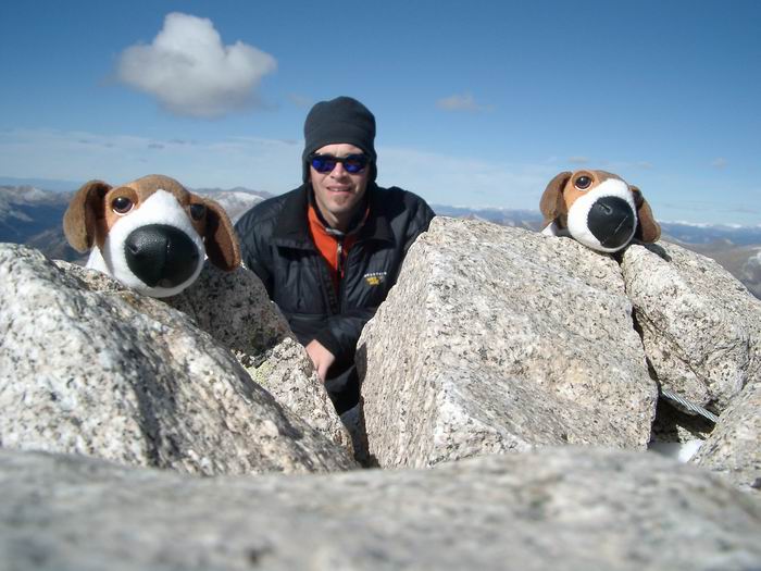 My kids wanted me to carry something to the summit for them.
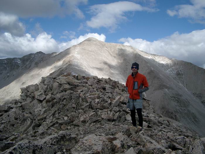 Summit Photo (Tigger Peak)
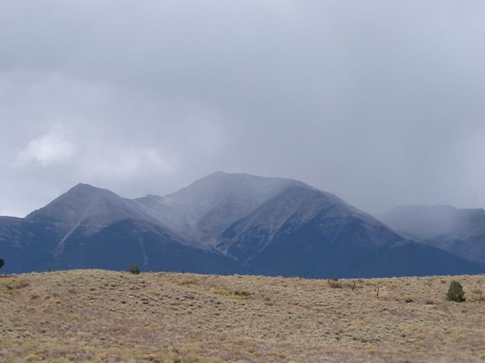 Tigger Peak and Mount Princeton from Highway 285