
Blodgett Peak
Statistics
- Date - 04/29/2009
- Elevation - 9,423'
- Route - South Slopes
- Miles - 4.0
- Elevation Gain - 2,359'
- ACME Mapper - Link
- CalTopo - Link
- Partners - Not Applicable
Description
After working in Colorado Springs, Colorado, for a couple of weeks, I was getting tired of the Manitou Incline. Earlier in the week I ran a cross an Internet forum thread for suggested training hikes in the area which recommended Blodgett Peak. This hike is located on the northwest corner of town above the Blodgett Peak Open Space Area. The trail starts out on a road and goes to a large green water tank and gate closure. From here, you leave the road by going west up a steep slope on user trails. There were a few intersecting trails that make navigation somewhat confusing, but you simply continue in a westerly direction and gain elevation into the drainage located south of the peak.
The use trail remains steep for the entire hike and is not maintained. There are a few small switchbacks once on the north side of the valley. You are in the trees for much of the hike and catch a few glimpses back to the trailhead and Colorado Springs, Colorado, after gaining some elevation. About half way up, the trail converts from relatively solid dirt to small scree. This was moderately annoying and made hiking somewhat more difficult. After this section, I started to follow cairns through a boulder field which was much more enjoyable hiking. At this point, I had turned north and came to a narrow and steeper rock gully filled with downfall.
Trip reports indicated that you continue west to a small saddle southwest of the summit. To be honest, I wasn’t really sure where I was heading but the cairns seemed to lead to the rock gully which looked like a fun scramble. I continued north up the narrow gully on generally solid rock. The gully gradually opened up and became wider near the top ending on the ridge between the east and west summits of Blodgett Peak. After another five minutes of fun scrambling on the ridge west, I was on the summit of Blodgett with some great views. It took me 1 hour and 25 minutes to reach the top.
I snapped a few photos, ate some snacks, and drank some water. I did this hike after work, so I didn’t have a lot of time to lounge and needed to get back down. In addition, I wasn’t looking forward to descending pebble-like scree on steep slopes. The hike out was surprisingly easier than expected. As previously mentioned, the scrambling was on solid rock and the scree was not as difficult as I thought. Once back in the base of the drainage on more solid footing, things got much easier and I could pick up the pace. It took me 55 minutes to get back to the trailhead. I was pleasantly surprised by this hike right outside of town. Although it was close to Colorado Springs, Colorado, it was steep and challenging with some fun scrambling near the summit.
Photos
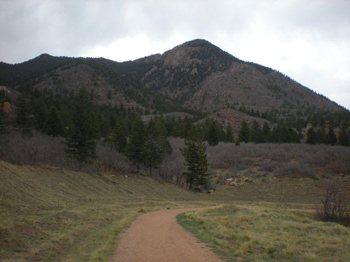 Blodgett Peak
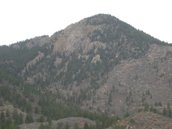 Blodgett Peak
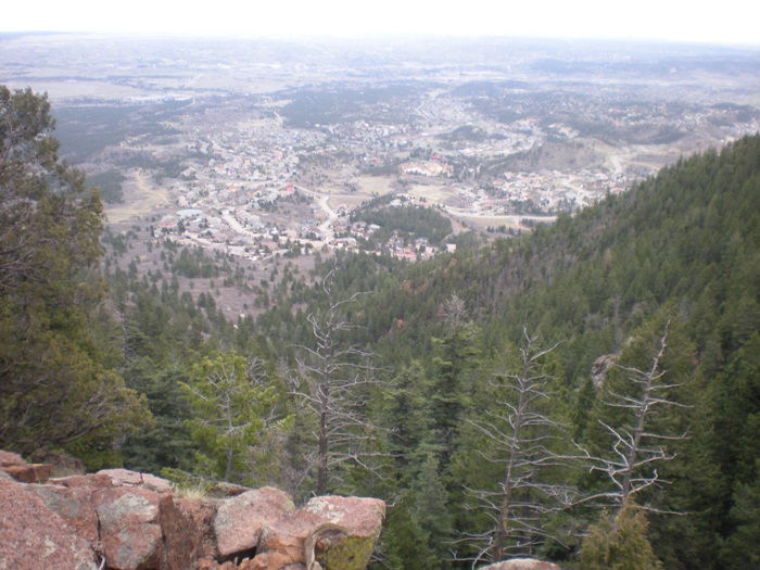 Views to the east.
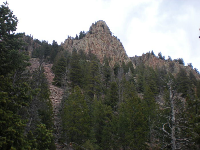 Views
Views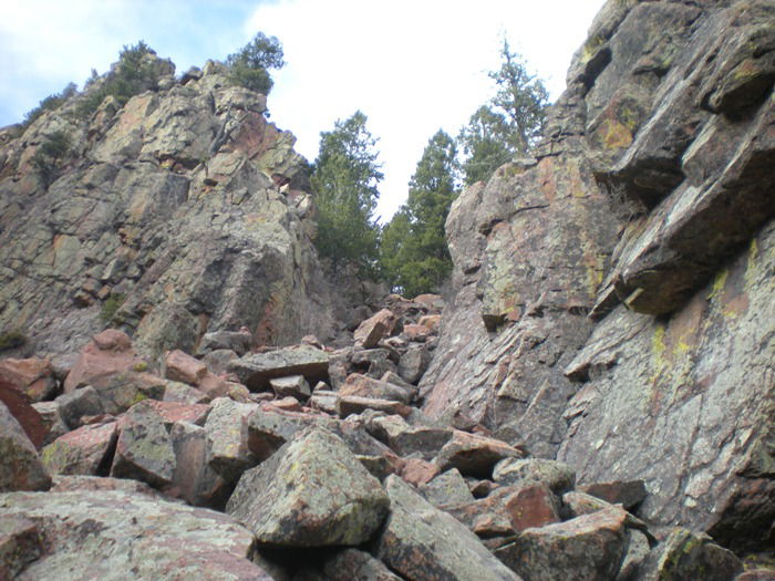 Gully
Gully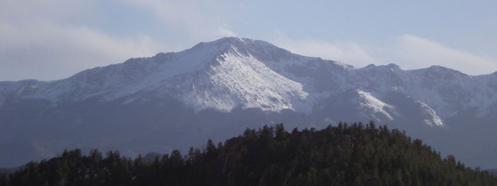 Pikes Peak
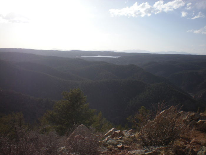 Views to the west.
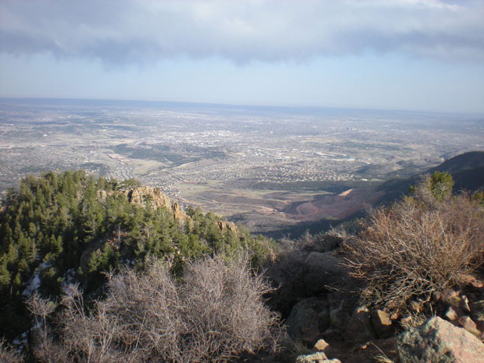 Colorado Springs, Colorado
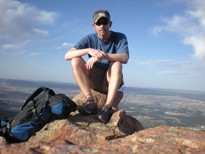 Summit Photo
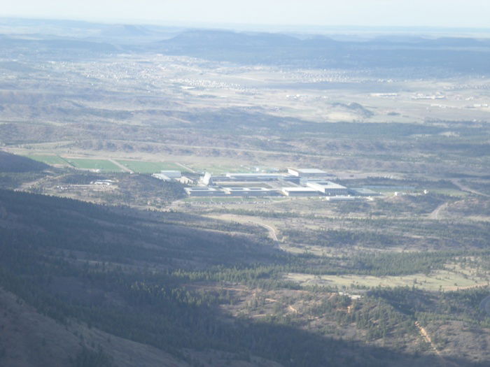 Air Force Academy