Electric Peak
Statistics
- Date - 07/13/2024
- Elevation - 13,598'
- Route - Northwest Ridge
- Miles - 13.0
- Elevation Gain - 5,123'
- ACME Mapper - Link
- CalTopo - Link
- Partners - Not Applicable
Description
Electric Peak is a Bi-Centennial Peak and the 189th tallest mountain in the state of Colorado according to old map elevations. The peak's new LIDAR elevation is 13,618' moving Electric up to the 185th tallest peak in Colorado. This spring and summer I have been working on hiking some of the remaining 200 highest peaks in Colorado that I have not been to. For some reason, I decided to start in the Sangre de Cristo Range after completing the Front Range.
The Electric Peak statistics ended up being somewhat similar to Rosalie and Colony Baldy. These peaks ended up being pretty big days for me with regard to distance and elevation gain. After a bit of research, I decided to attempt Electric Peak from the east as this approach had the shortest mileage and the drive was closer for me. I drove to the Peerless Mine Trailhead the night before and slept in my tent for an early start the next morning.
I was up at 4:30 am and hiking by 4:45 am. I knew it was going to be a long day with lots of miles, but much of the hiking was on a trail so I was optimistic for a successful summit. I took the Peerless Mine connector trail from the Spruce Creek Drainage to the Brush Creek Drainage. Once on the North Brush Creek Trail, I hiked west to Lower and Upper Brush Lakes. From the lakes, you follow a use trail southwest to the saddle between Lakes Peak and Point 12585. At this point, you continue to traverse southwest to the saddle between Lakes Peak and Electric Peak.
From the saddle around 12,500', I angled southeast and had approximately 1,100' to reach the summit Electric Peak. The trail ends and the route steepens as I worked my way up the northwest ridge. I generally stayed on the ridge proper, which never exceeded class 2. There was a false summit at 13,220' where you drop slightly before making the final ascent to Electric Peak. I made the summit at 10:15 am after 5 hours and 30 minutes of hiking. I spent 30 minutes on top as I was pretty exhausted and wanted to rest and rehydrate.
I simply retraced my steps back to the trailhead as I had no energy to try and add any additional peaks to my day. There was around 500' of gain on the return to my vehicle; however, it wasn't too difficult and I reached the trailhead at 2:30 pm for a 9 hour and 45 minute car-to-car day. The road to the trailhead isn't nearly as challenging as the ones to Rito Alto or Cottonwood Peak.
Photos

Lakes Peak from early in the hike.

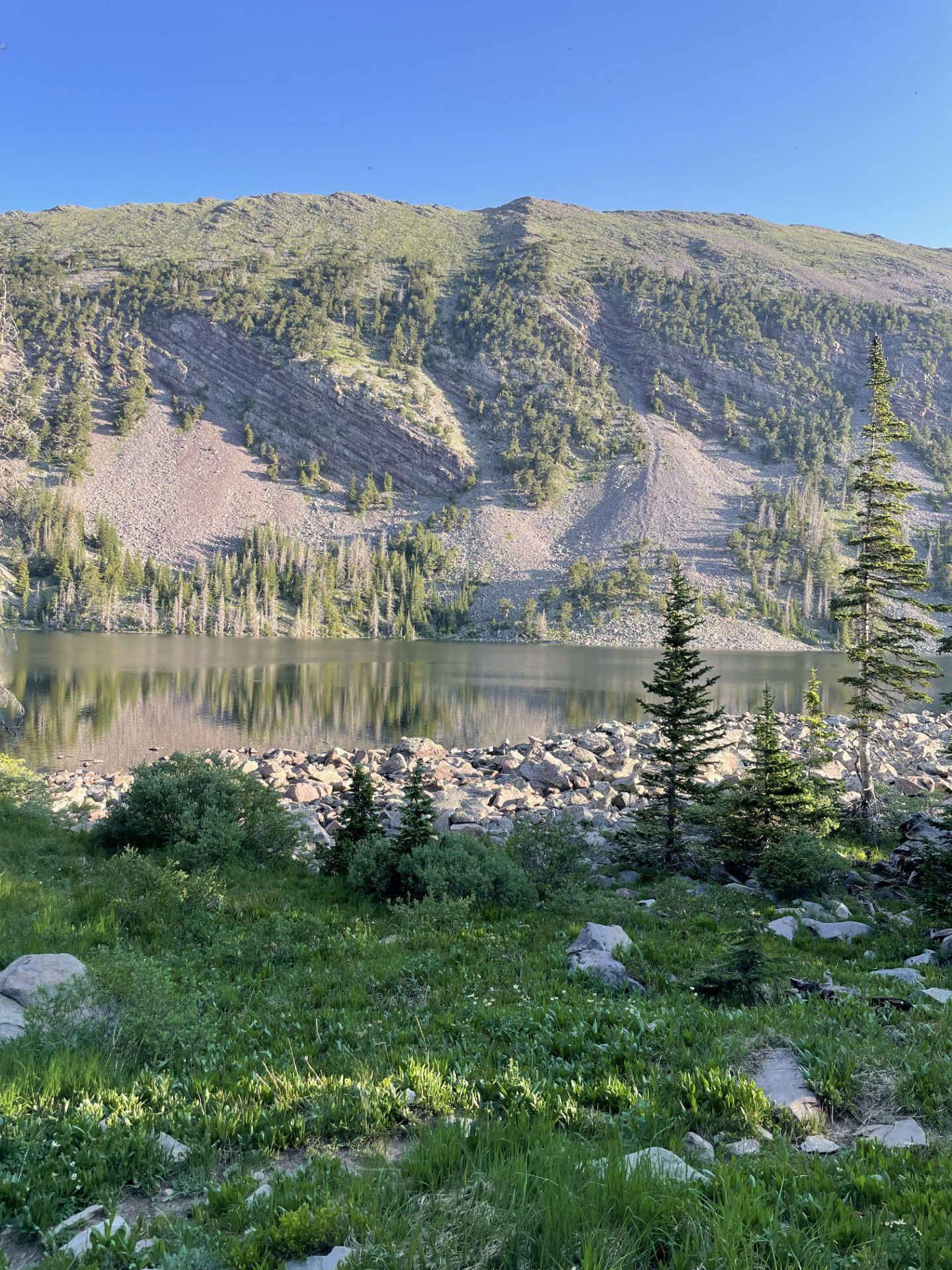
Lower Brush Lake

Upper and Lower Brush Lakes

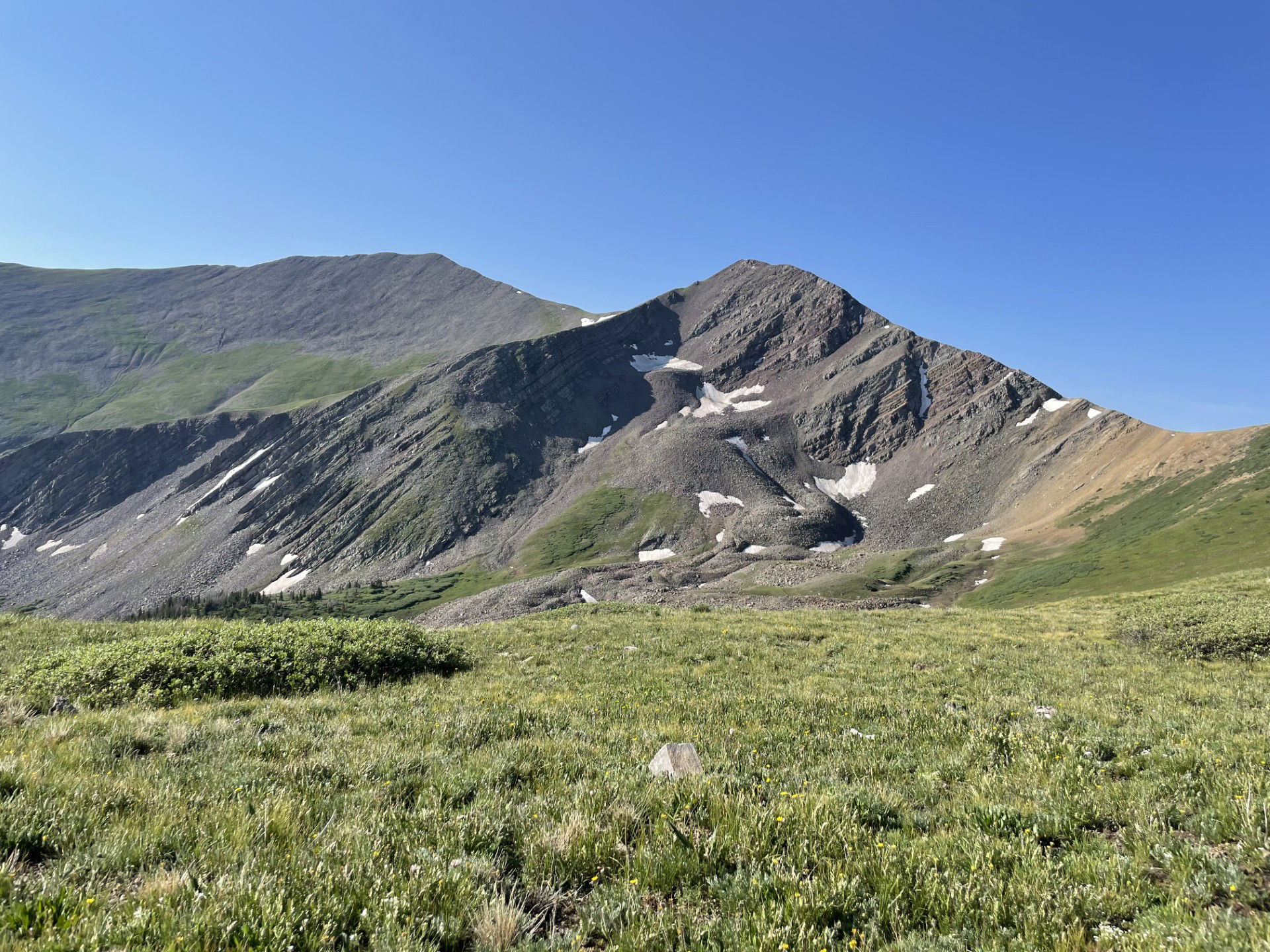
My first look at Electric Peak in the distance on the left.

The start of the northwest ridge and the false summit.

Electric Peak from the false summit at 13,220'.

The final section of the hike to the summit of Electric Peak.

Views to the north from the summit.

Views to the south from the summit.

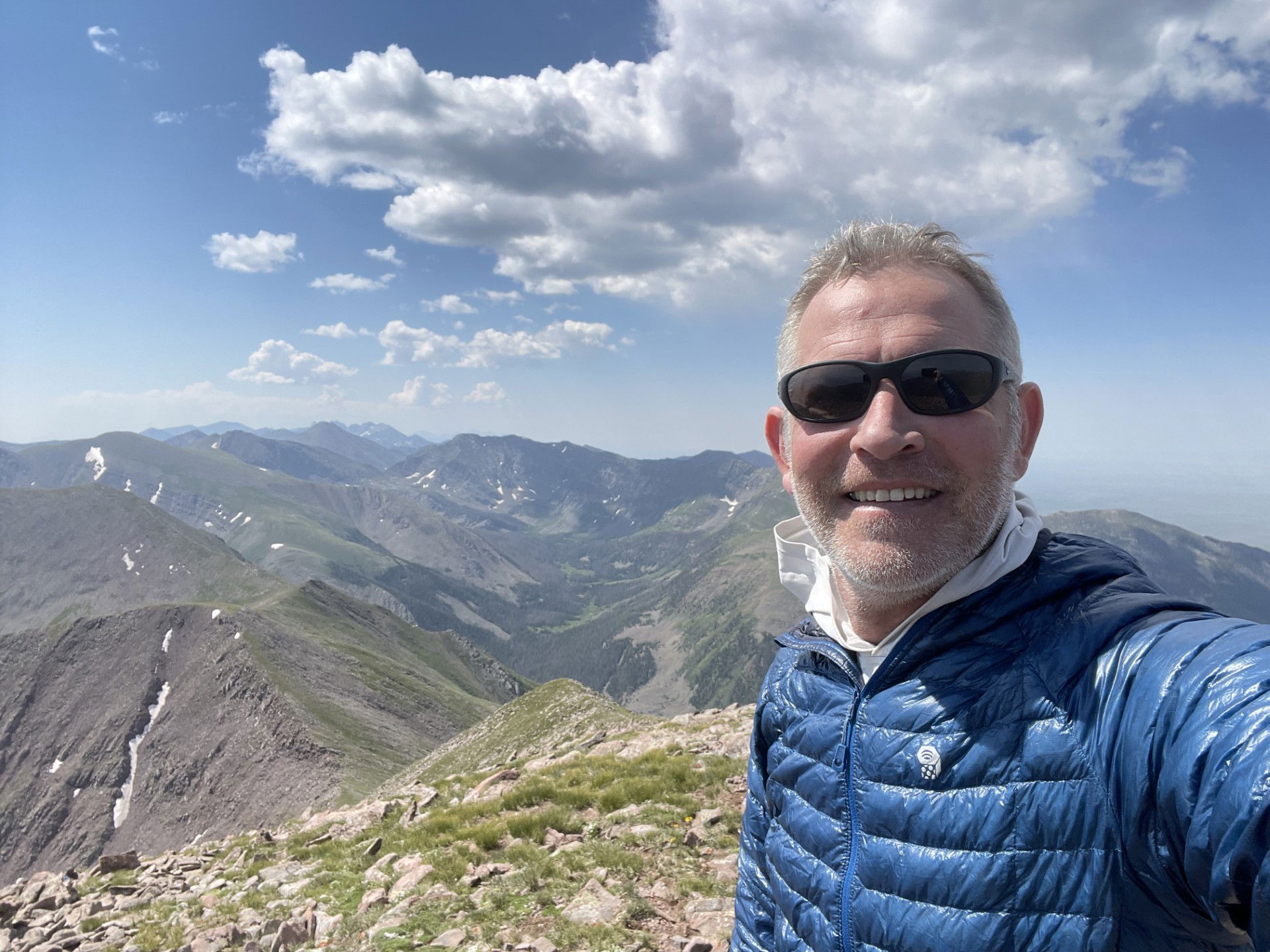
Summit Photo

Upper and Lower Brush Lakes on the return hike.
