
Pup Peak
Statistics
- Date - 07/25/2024
- Elevation - 8,790'
- Route - East Slopes
- Miles - 3.0
- Elevation Gain - 792'
- ACME Mapper - Link
- CalTopo - Link
- Partners - Not Applicable
Description
This was another short hike to a low peak in the San Luis Valley. I hiked on a trail for about a mile and then had to go cross county for a half mile before reaching the summit. The trailhead was only a few miles off of Highway 160.
Photos
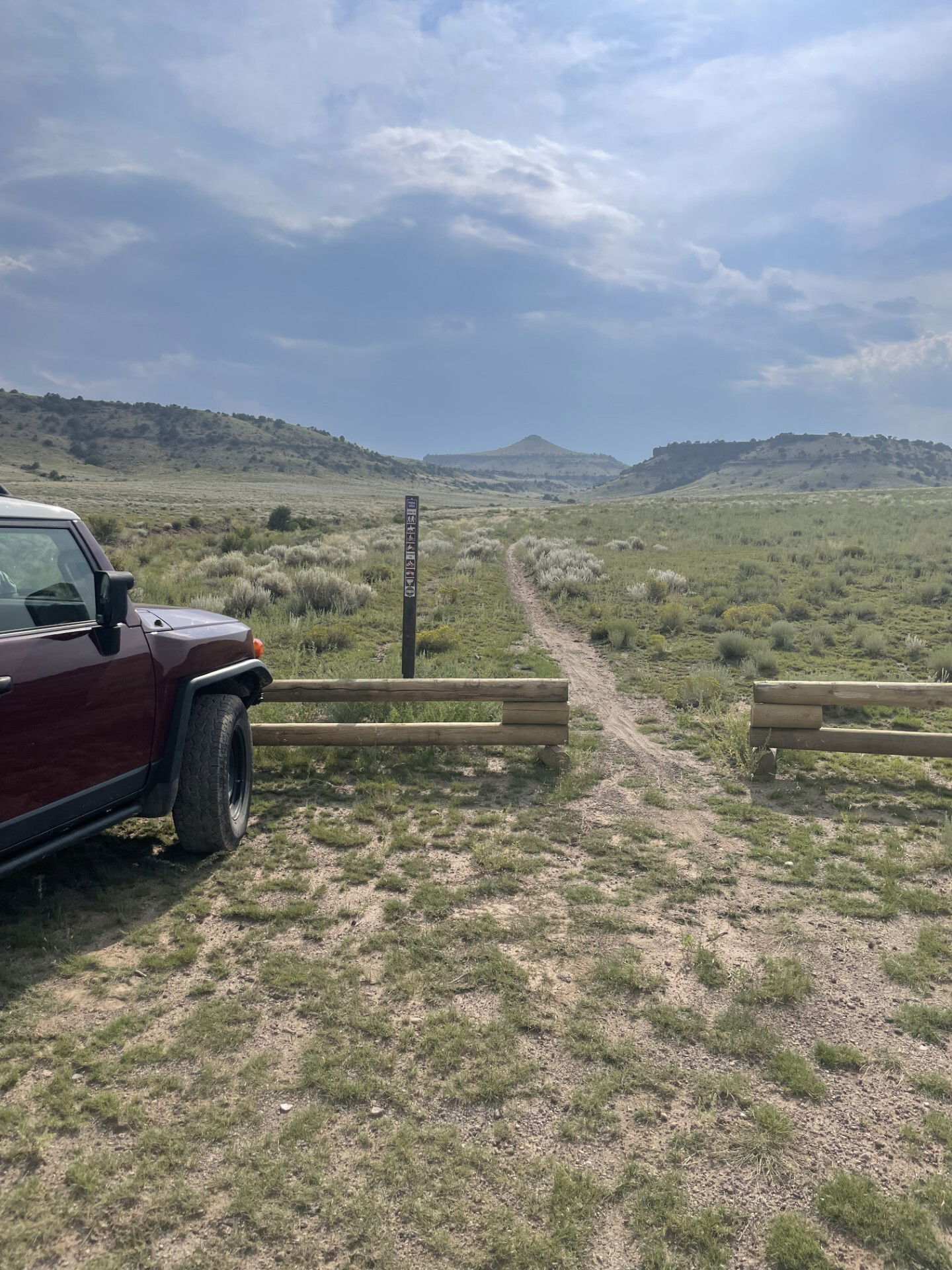
Pup Peak from the trailhead.
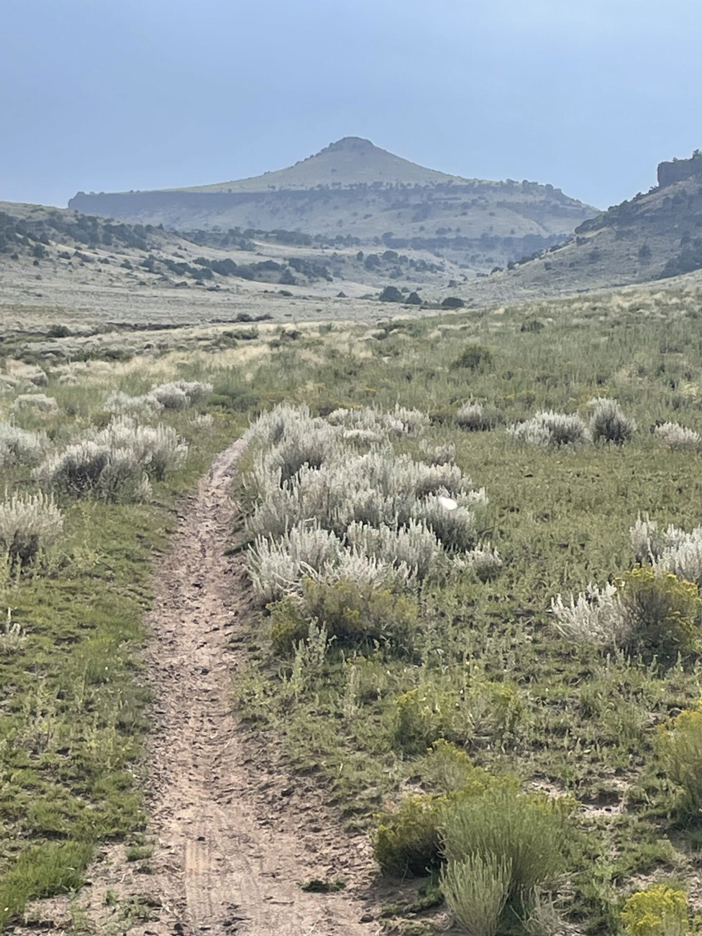
Pup Peak after hiking the trail for a bit.
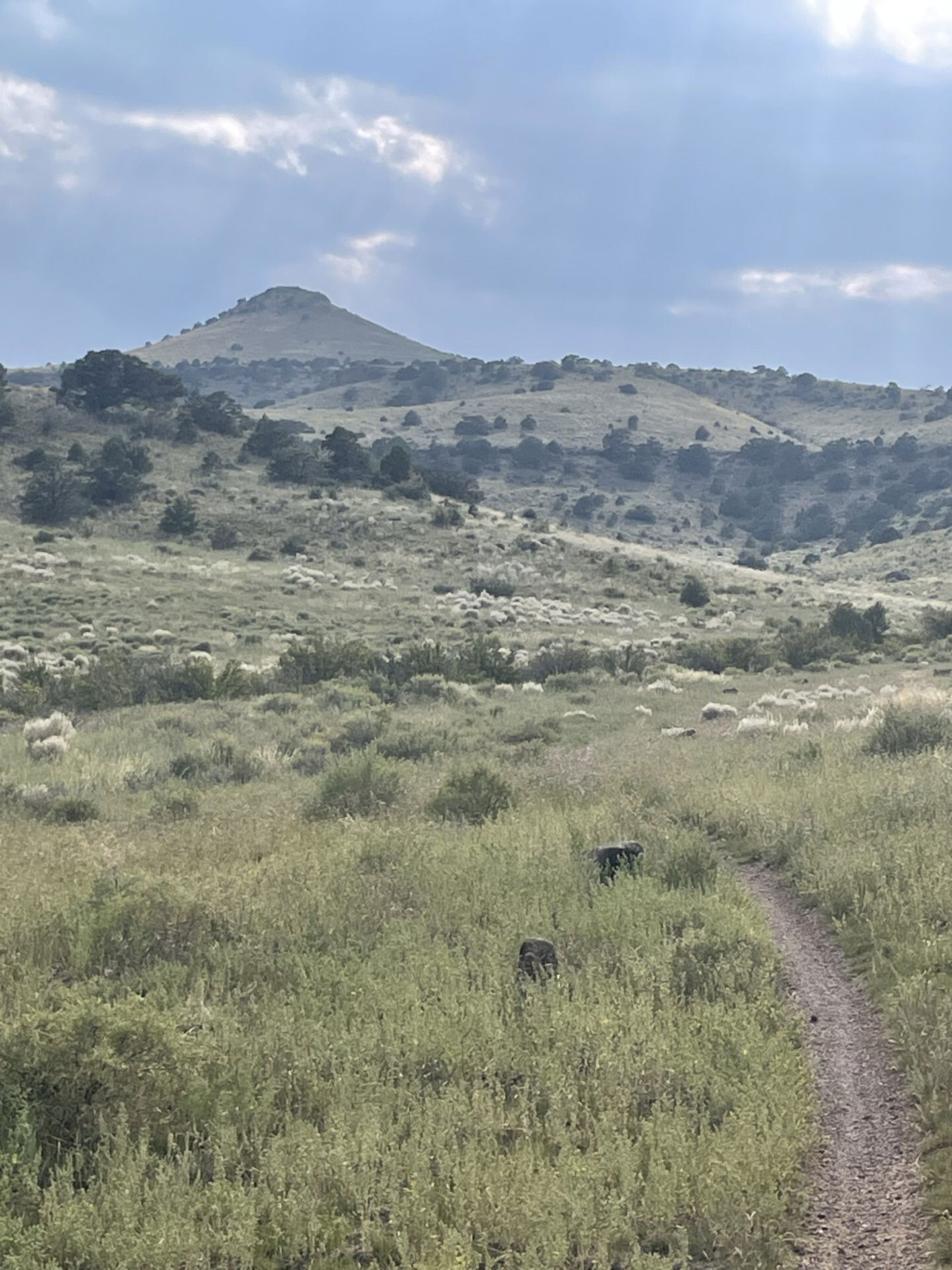
Getting closer to actually gaining some elevation.

Looking back down the canyon towards the trailhead.

Dog Mountain and views to the south from the summit.
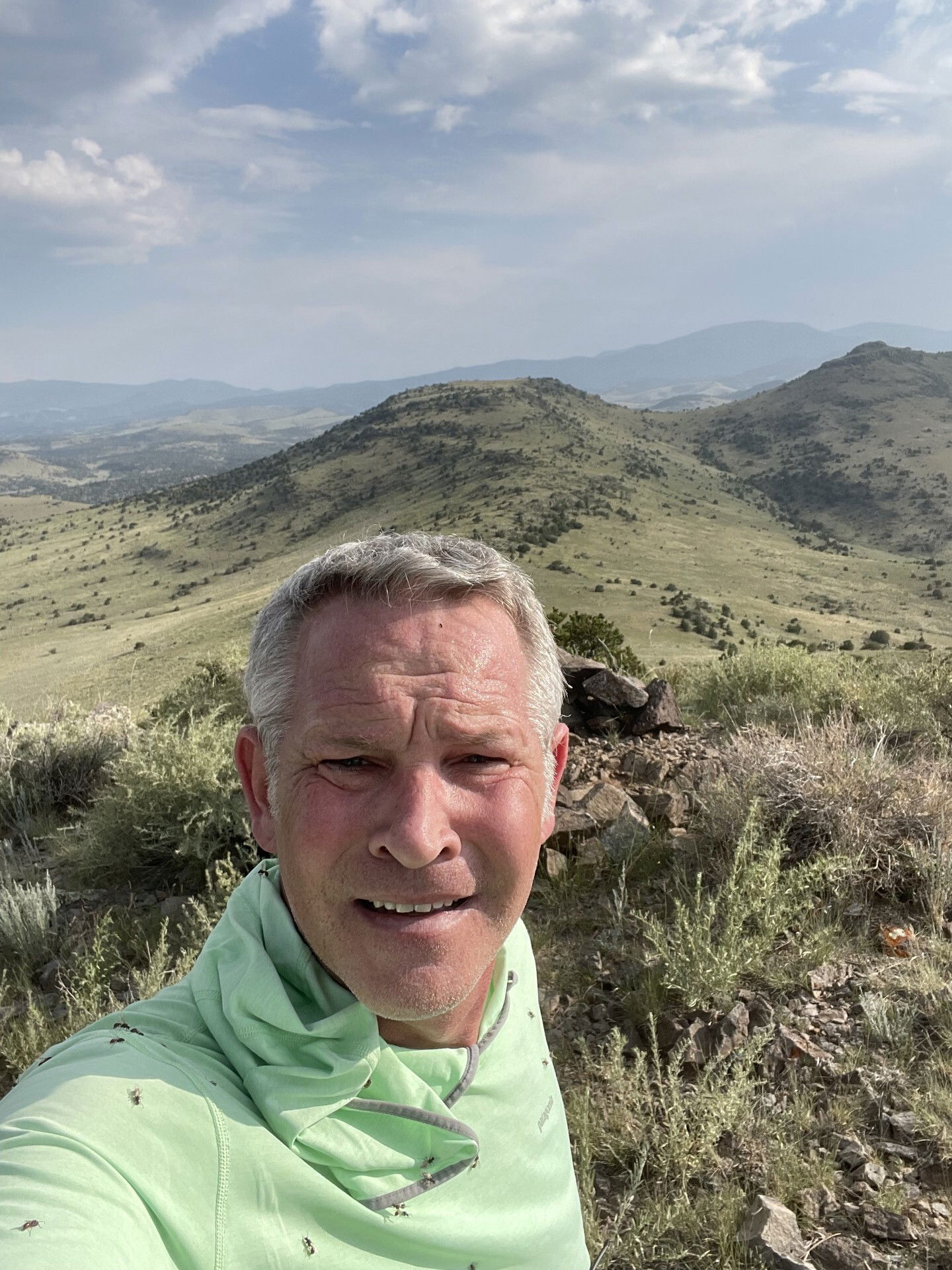
Summit photo as I was being attacked by pesky flies.