
Rinker Peak
Statistics
- Date - 08/29/2024
- Elevation - 13,783'
- Route - East Ridge
- Miles - 11.0
- Elevation Gain - 4,800'
- ACME Mapper - Link
- CalTopo - Link
- Partners - Not Applicable
Description
Rinker Peak is a Bi-Centennial Peak and the 113th tallest mountain in the state of Colorado according to old map elevations. I decided to return to the Sawatch Mountains for another peak after shifting focus from the Sangre de Cristo Range. Rinker Peak was a big day for me. I drove to the trailhead near Twin Lakes the previous evening and slept relatively well in my tent.
I didn't get an alpine start and wasn't hiking until around 6:40 am. The forecast was clear and I had all day, so I simply took my time and got a bit later start. The hike is mostly on trail starting from Highway 82 and taking the Willis Gulch Trail to 11,600'. From here, you scramble up a shallow gully northwest to the east ridge of Rinker Peak. There are a few faint switchbacks that help with the climb to the ridge around 13,100'. Once on the ridge, it is a fun hike/scramble to the summit of Rinker Peak.
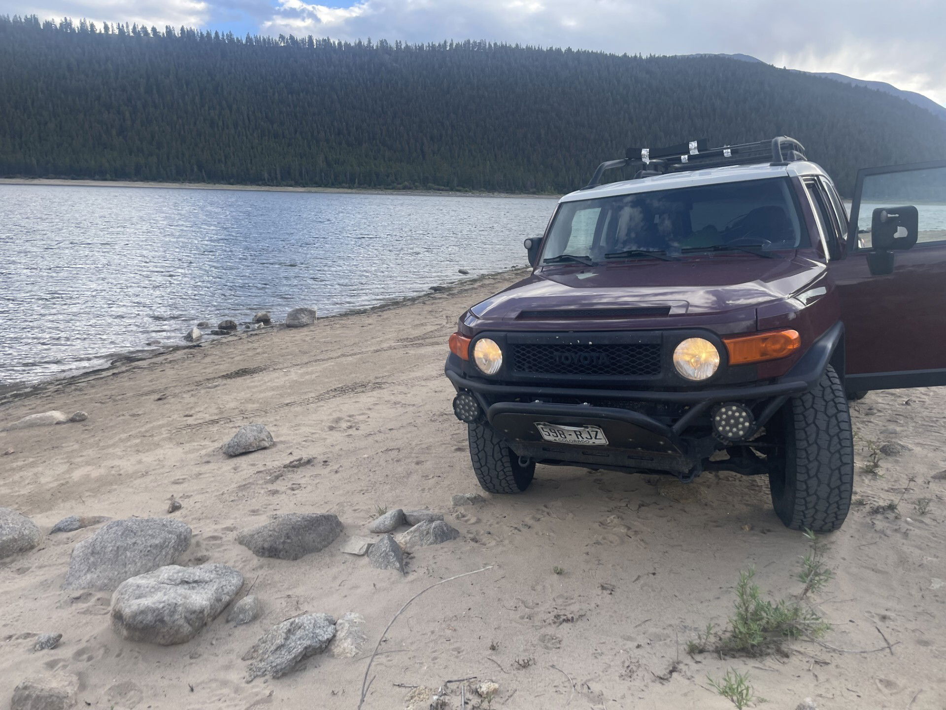
Although I made the summit, I didn't have a great day and struggled with fatigue and altitude. Nevertheless, I ticked off another Bi-Centennial and got to spend a little time at the Clear Creek Reservoir. It ended up being an 8 hour and 30 minute car-to-car day.
Photos
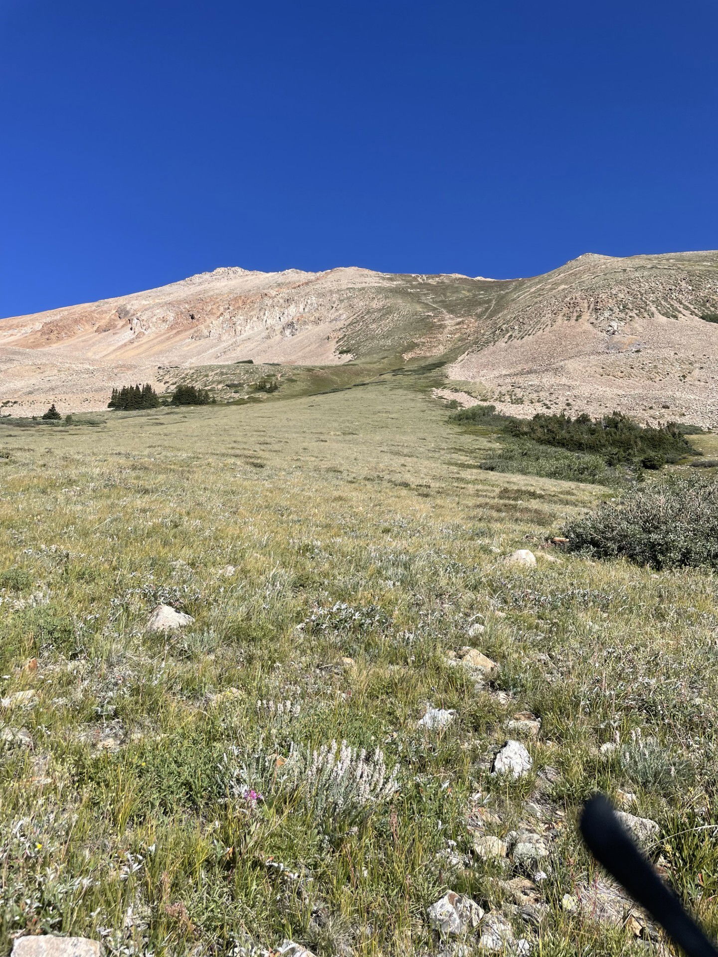
The shallow gully you hike to reach the saddle east of Rinker Peak.
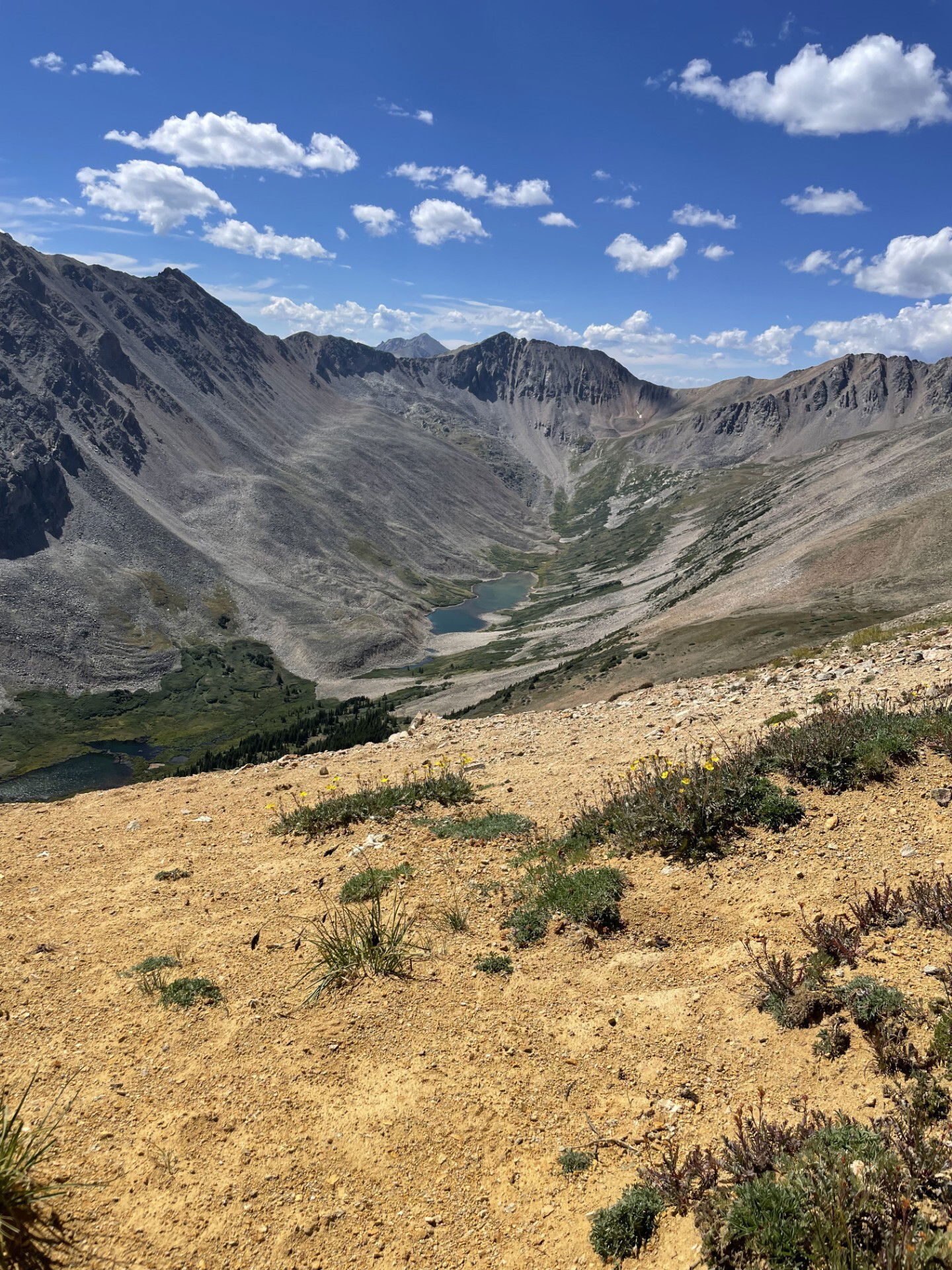
Willis Lake from the saddle.
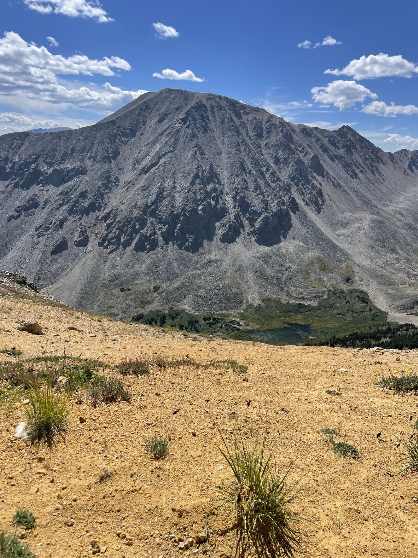
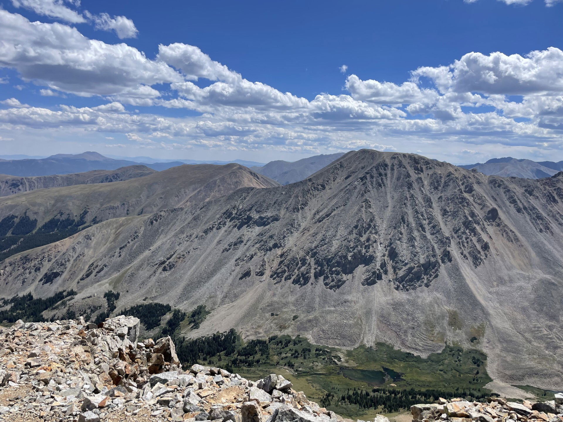
Mount Hope from the saddle.
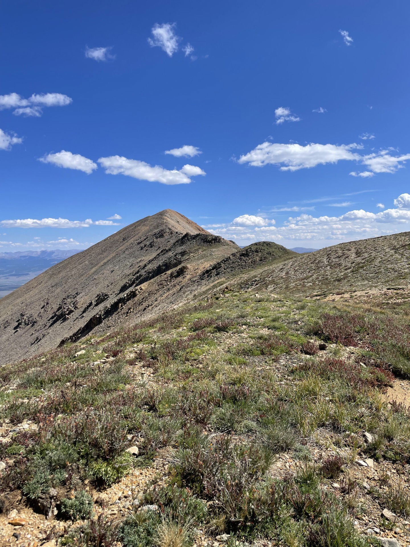
Twin Peaks from the saddle.
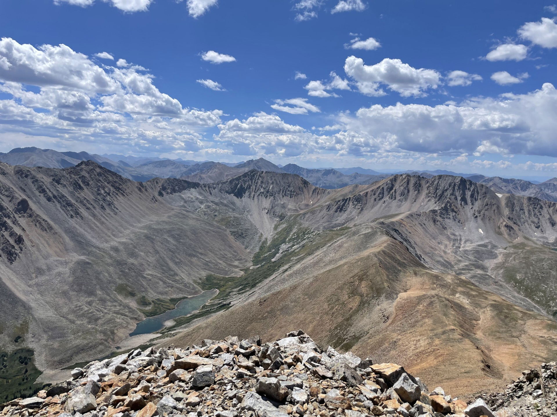
Views to the south from the summit of Rinker Peak.
Views to the southeast from the summit of Rinker Peak.
Views to the northeast from the summit of Rinker Peak.
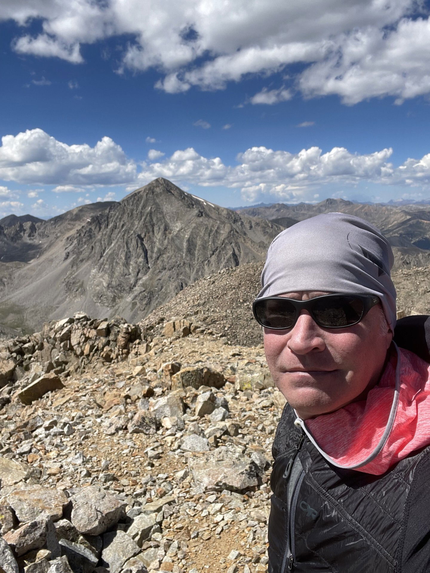
Summit Photo
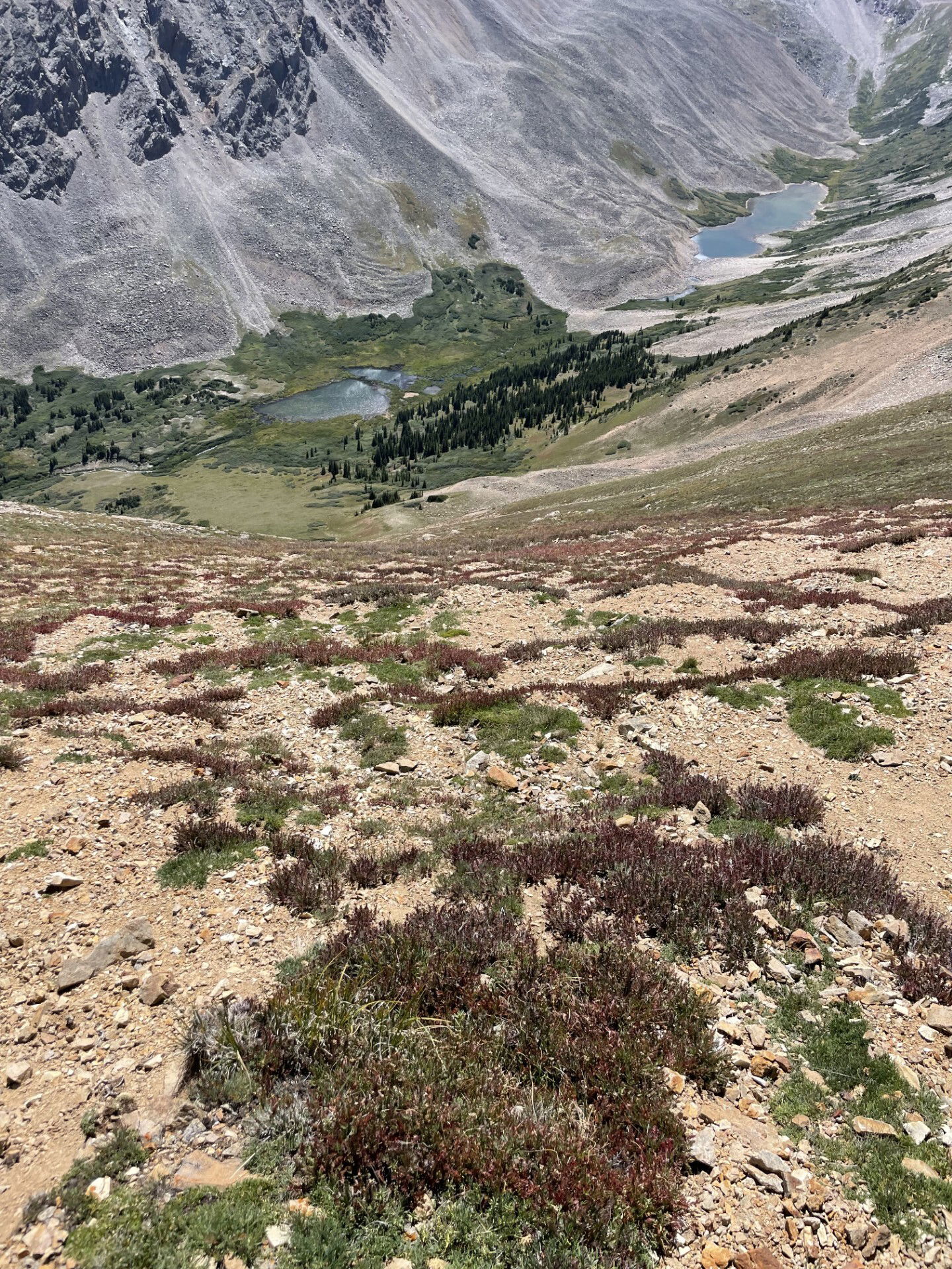
Looking down the shallow gully to Willis Gulch.
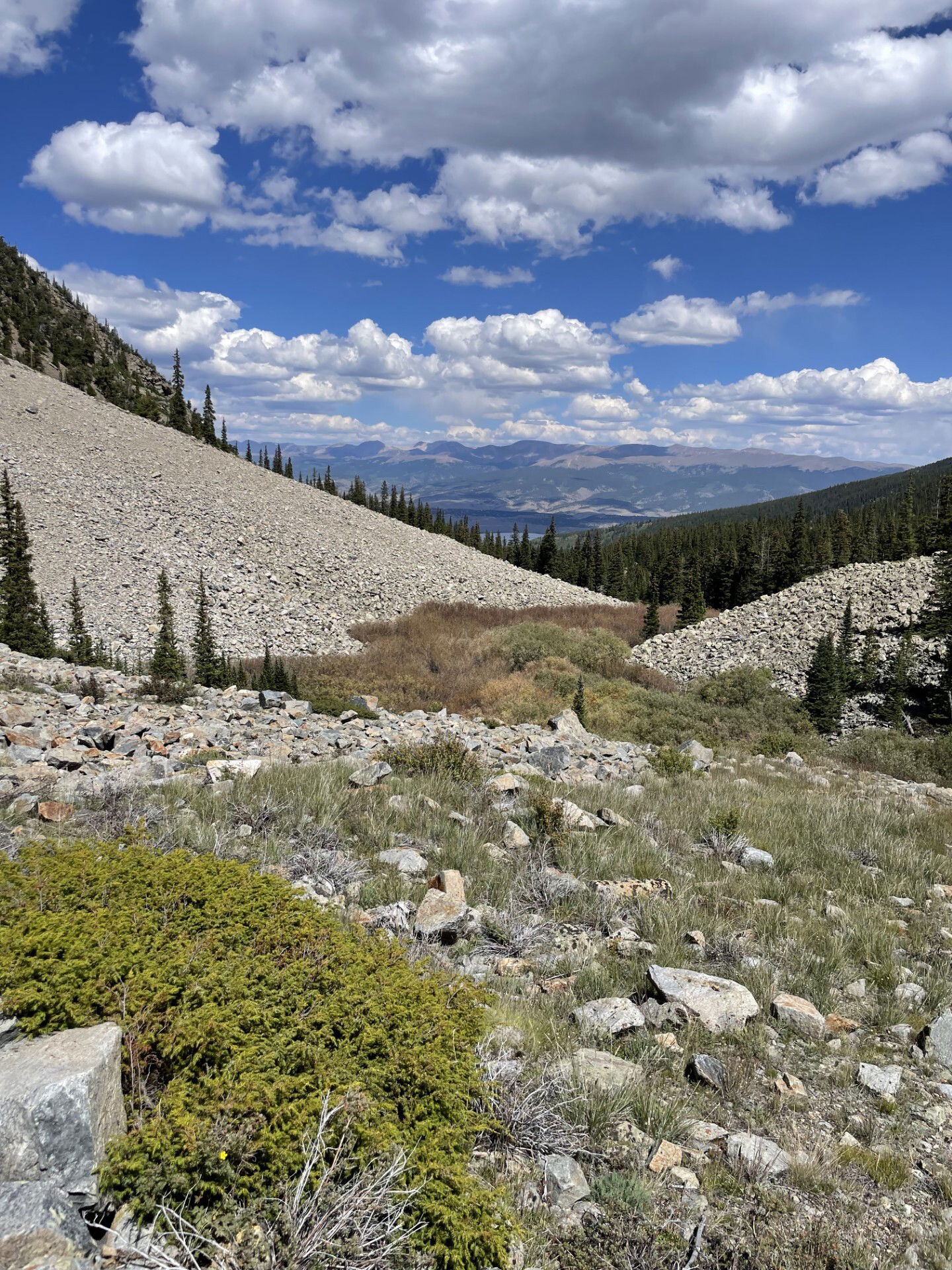
Willis Gulch
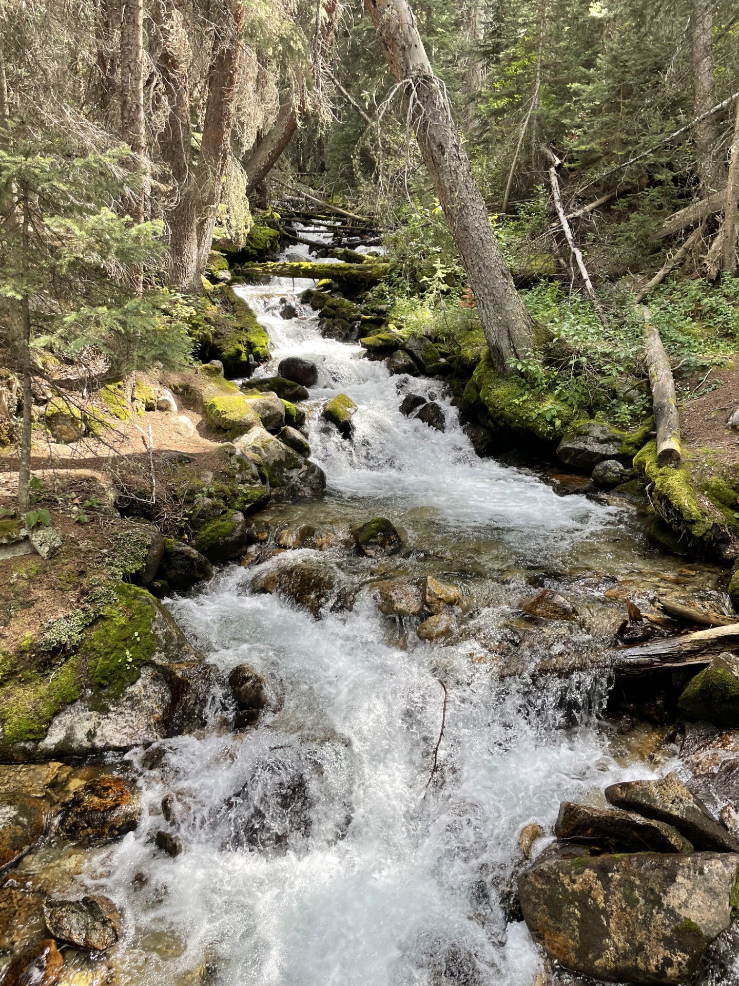
Creek
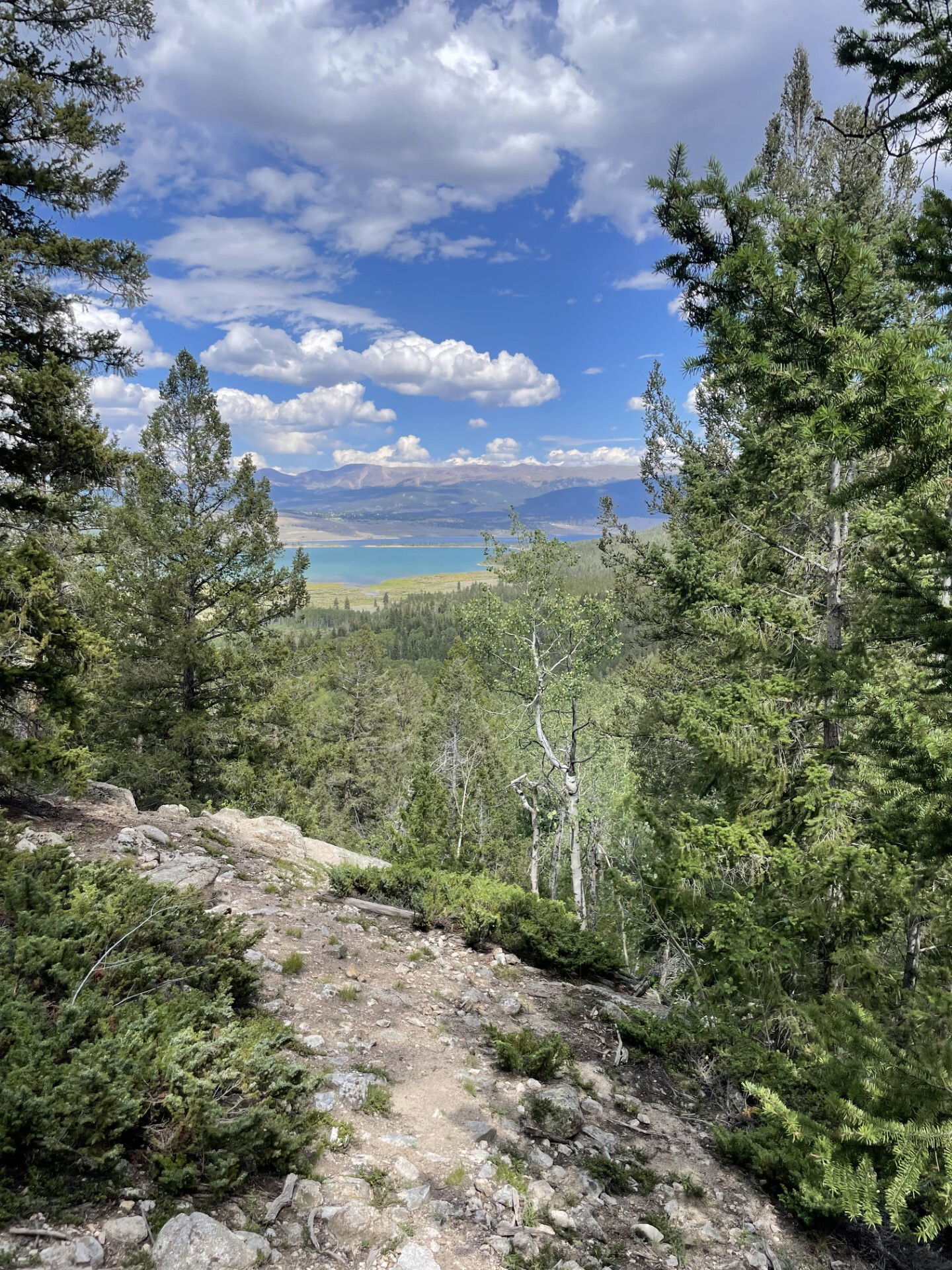
Twin Lakes
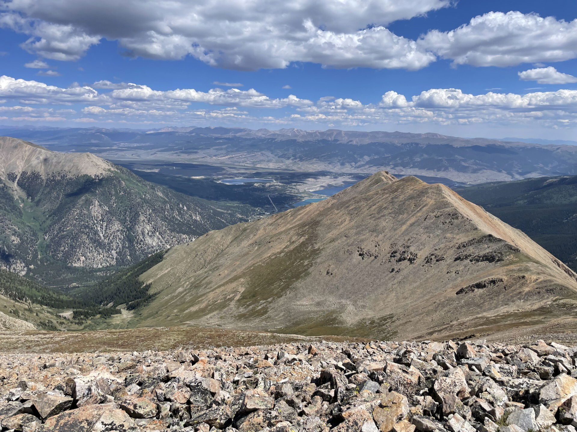
Clear Creek Reservoir