Signal Peak
Statistics
- Date - 09/16/2024
- Elevation - 9,042'
- Route - Cranor Hill/Ridgeline Trail
- Miles - 4.0
- Elevation Gain - 1,320'
- ACME Mapper - Link
- CalTopo - Link
- Partners - Not Applicable
Description
Signal Peak is located northeast of Gunnison, Colorado, in an area with plenty of hiking, mountain biking, and jeep trails near Western Colorado University. I was working in the area and took this particular evening to hike to the peak using the Cranor Hill and Ridgeline Trails. The statistics were perfect for the amount of time and sunlight I had available.
Photos

The desert-like area where I was hiking.
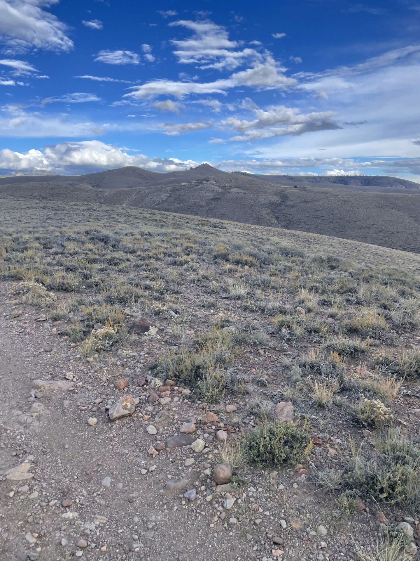
My first glimpse of Signal Peak.
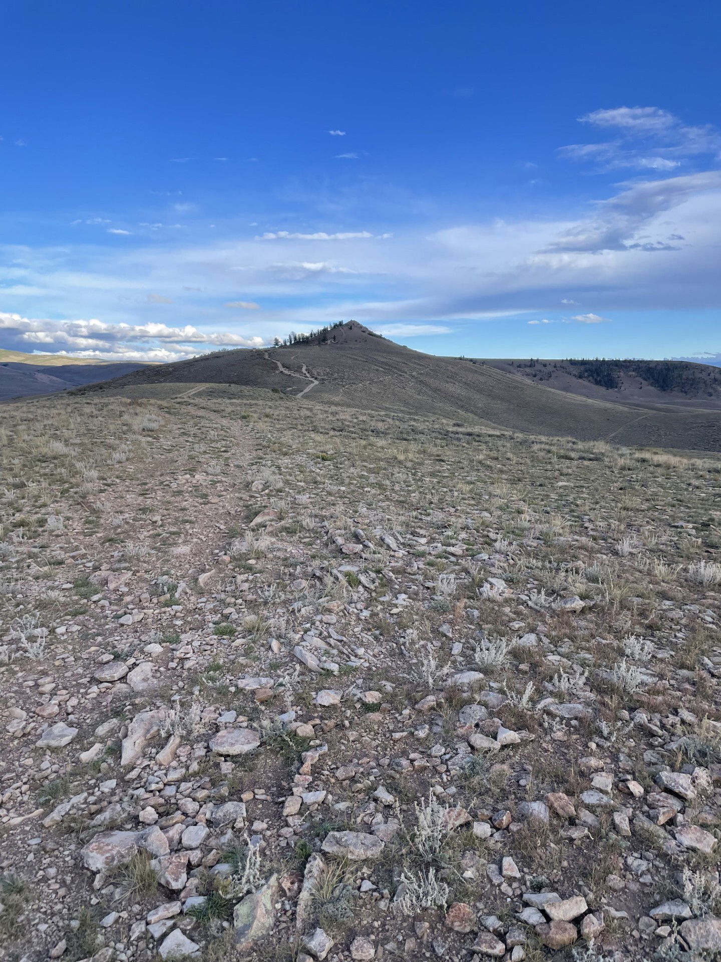
Getting closer to Signal Peak.
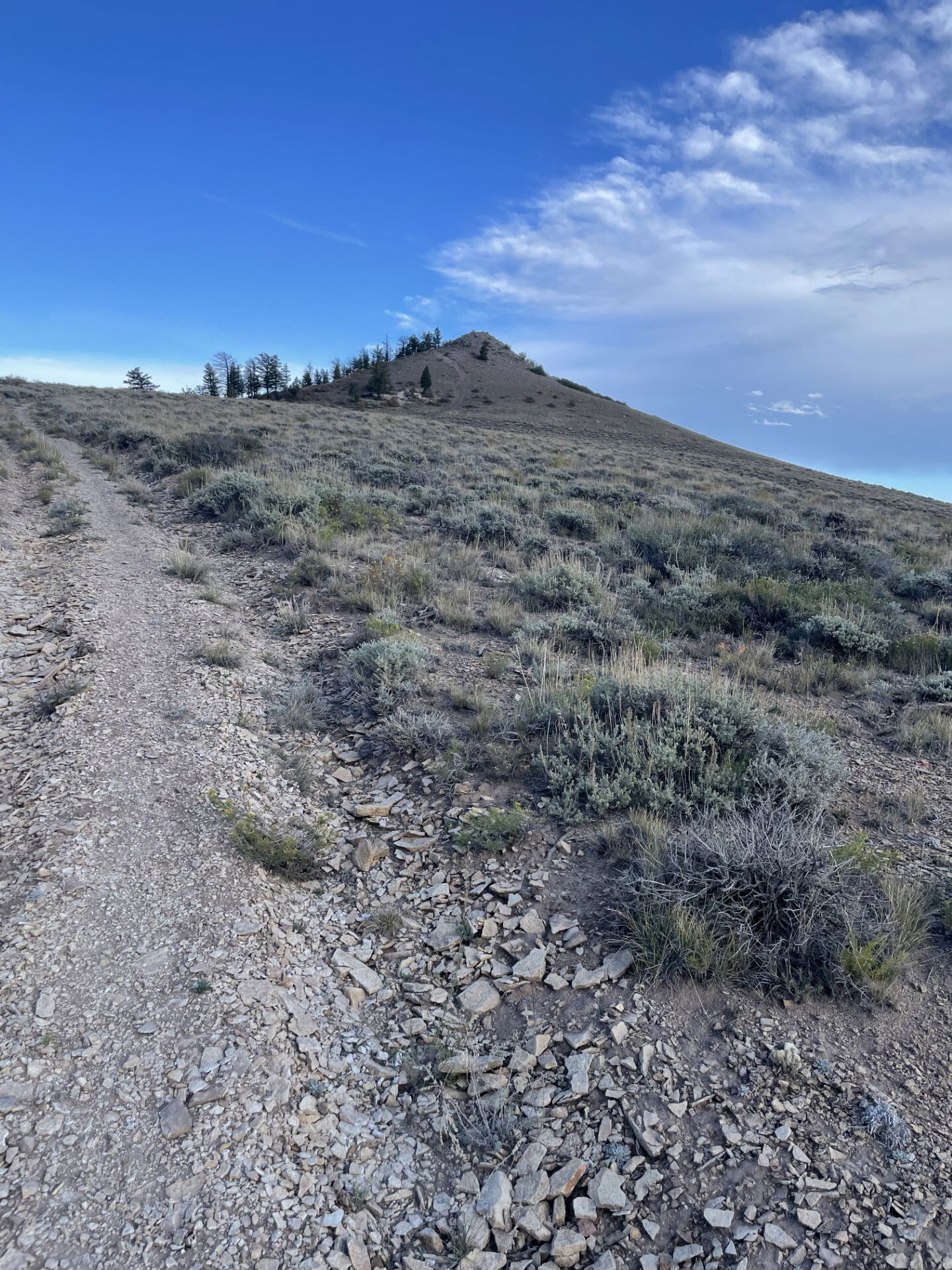
Nearing the summit of Signal Peak.
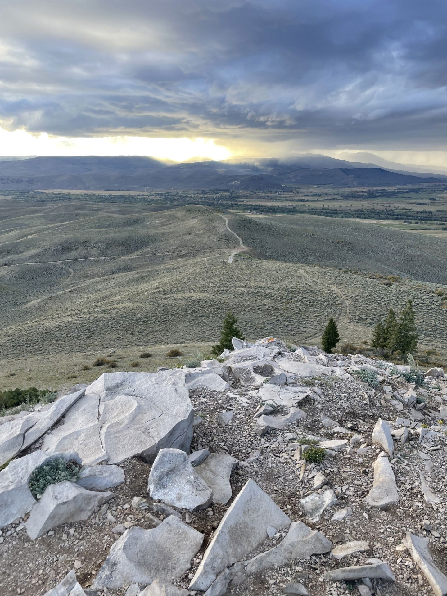
Views to the west and trail I hiked to Signal Peak.

Looking towards Tenderfoot Mountain and Gunnison, Colorado.
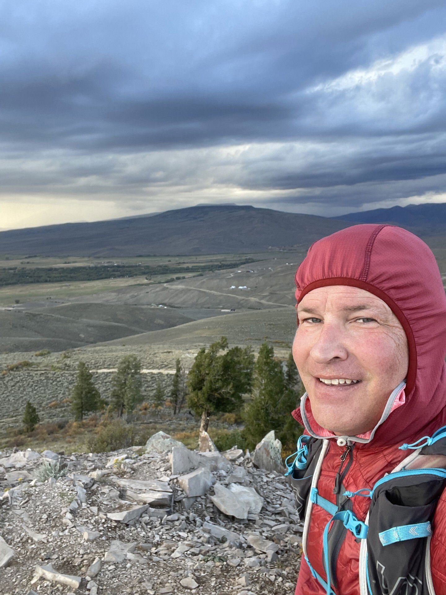
Summit Photo

Views on the hike out.
