
Stanley Mountain
Statistics
- Date - 06/15/2024
- Elevation - 12,521'
- Route - Continental Divide Trail
- Miles - 7.5
- Elevation Gain - 1,708'
- ACME Mapper - Link
- CalTopo - Link
- Partners - Not Applicable
Description
After hiking Mount Evans B earlier in the day, I thought there was enough time to do another hike on the drive home. I had identified Stanley Mountain as a good training hike at elevation not too far away from home several years ago. Given its relatively easy access, I decided to give it a go. My memory of the research I had done was a little off though. I thought it was going to be roughly 1,500' and 4 miles. I must have been thinking one way on the mileage, because it ended up being about twice as long. Oh well, I still made it and ended up putting in a 14 mile day total.
I had hiked several peaks to the east of Berthoud Pass, but had yet to venture to the west. I left the pass at 12:00 pm and simply followed the trail to the Continental Divide. Once on the Divide, the trail levels off and you spend a lot of time above 12,000'. The wind was blowing stronger than earlier in the day, but nothing too terrible. I made the summit of Stanley Mountain at 2:00 pm and was back at the trailhead by 3:35 pm for a 3 hour and 35 minute round trip hike.
Photos
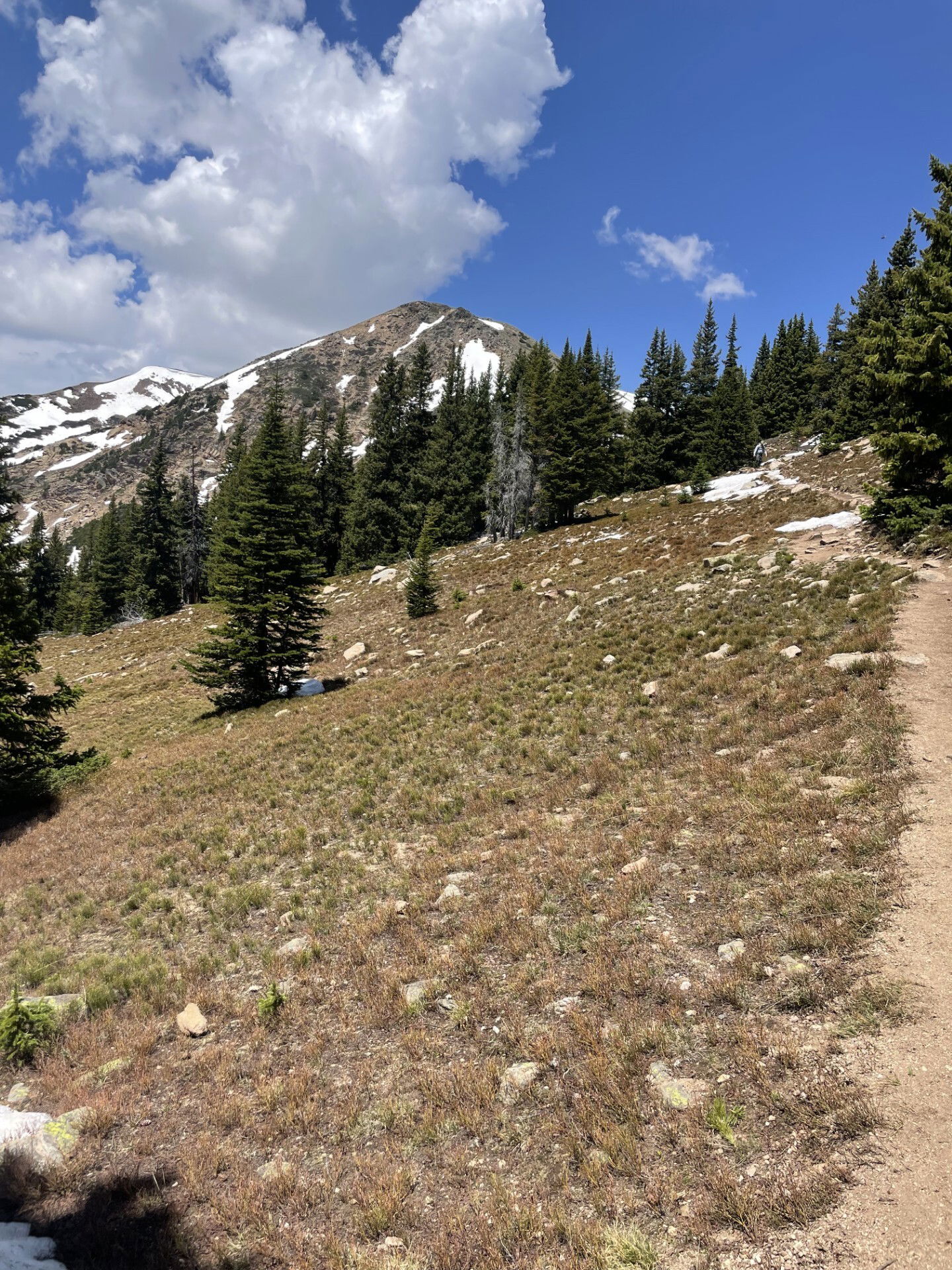
This isn't Stanley Mountain, just a photo of scenery early in the hike.
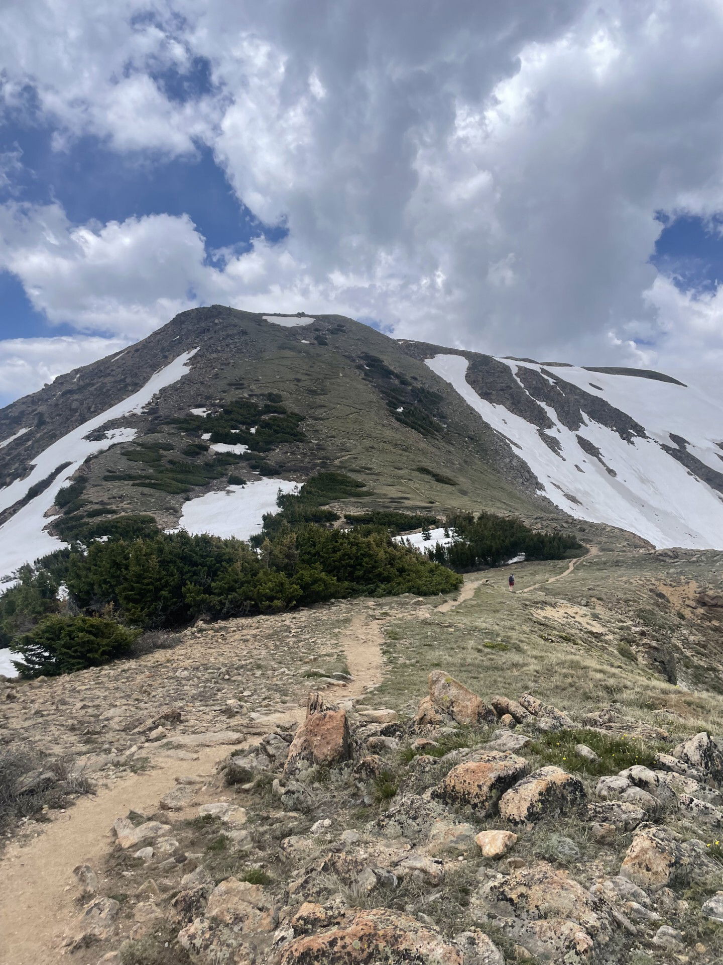
The steepest part of the hike were these switchbacks on the side of a peak.
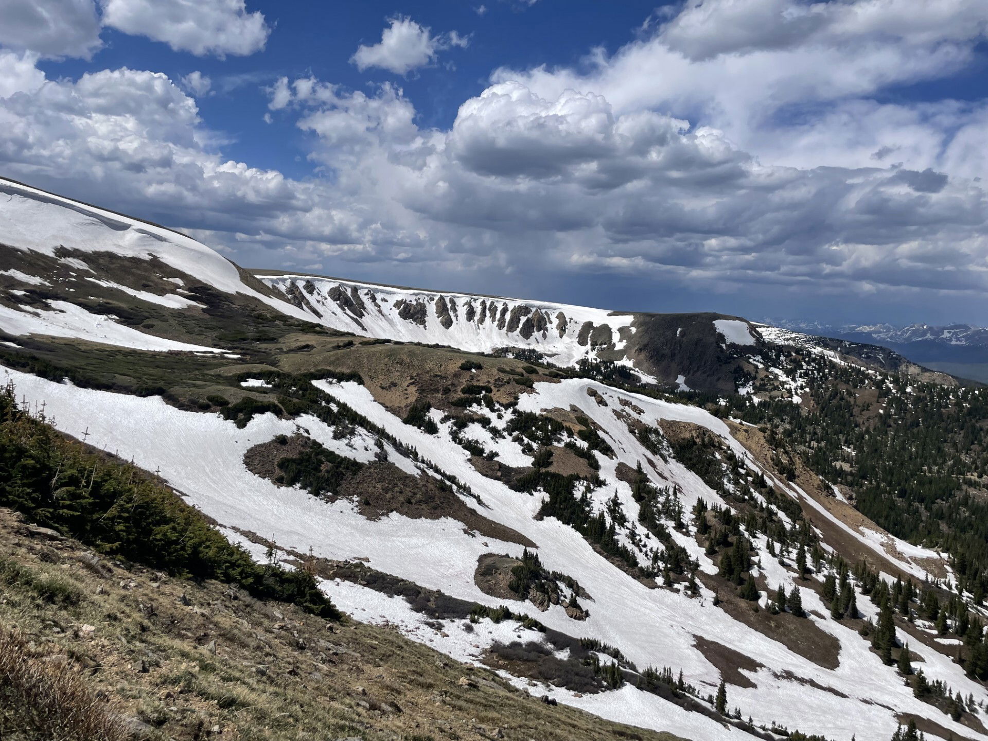
I thought this basin had several cool possible lines to climb.
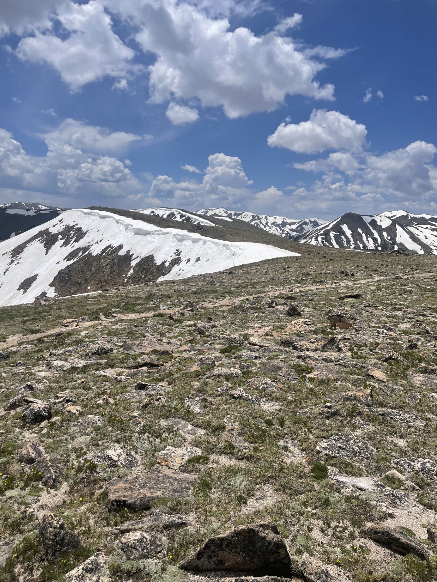
My first view of Stanley Mountain. It's way back in the center of the photo, but not very discernible.

Summit Photo

Views to the west including Vasquez Peak.
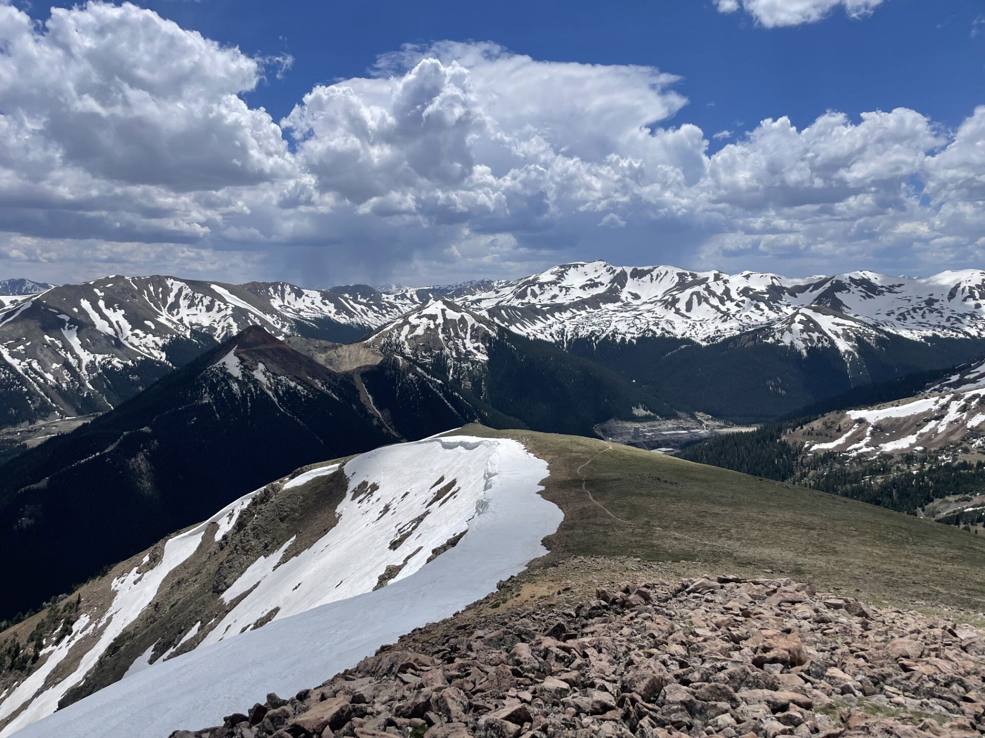
Views to the south.

A final look back at Stanley Mountain on the hike out.