
Tenderfoot Mountain
Statistics
- Date - 09/18/2024
- Elevation - 8,624'
- Route - South Slopes
- Miles - 1.7
- Elevation Gain - 372'
- ACME Mapper - Link
- CalTopo - Link
- Partners - Not Applicable
Description
Tenderfoor Mountain is the mesa-looking peak with the big "W" on it just outside of Gunnison, Colorado. I was working in the area and the point is named, so I decided to hike to it after work. It took three tries to finally reach the top because the first two attempts stopped me due to gated roads. Anyway, I finally made it legally to within striking distance and then quickly hiked up and down in around 40 minutes.
Photos
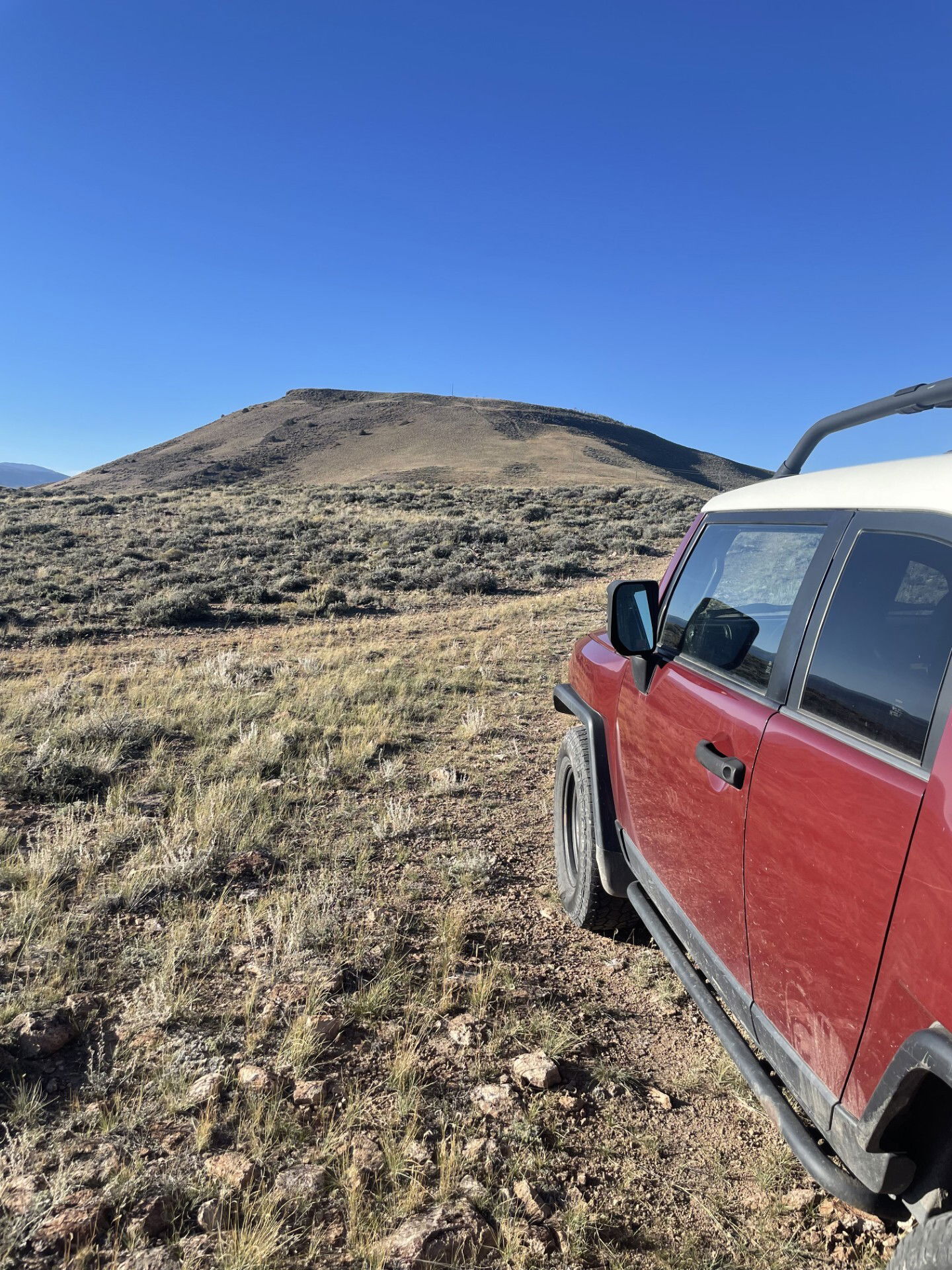
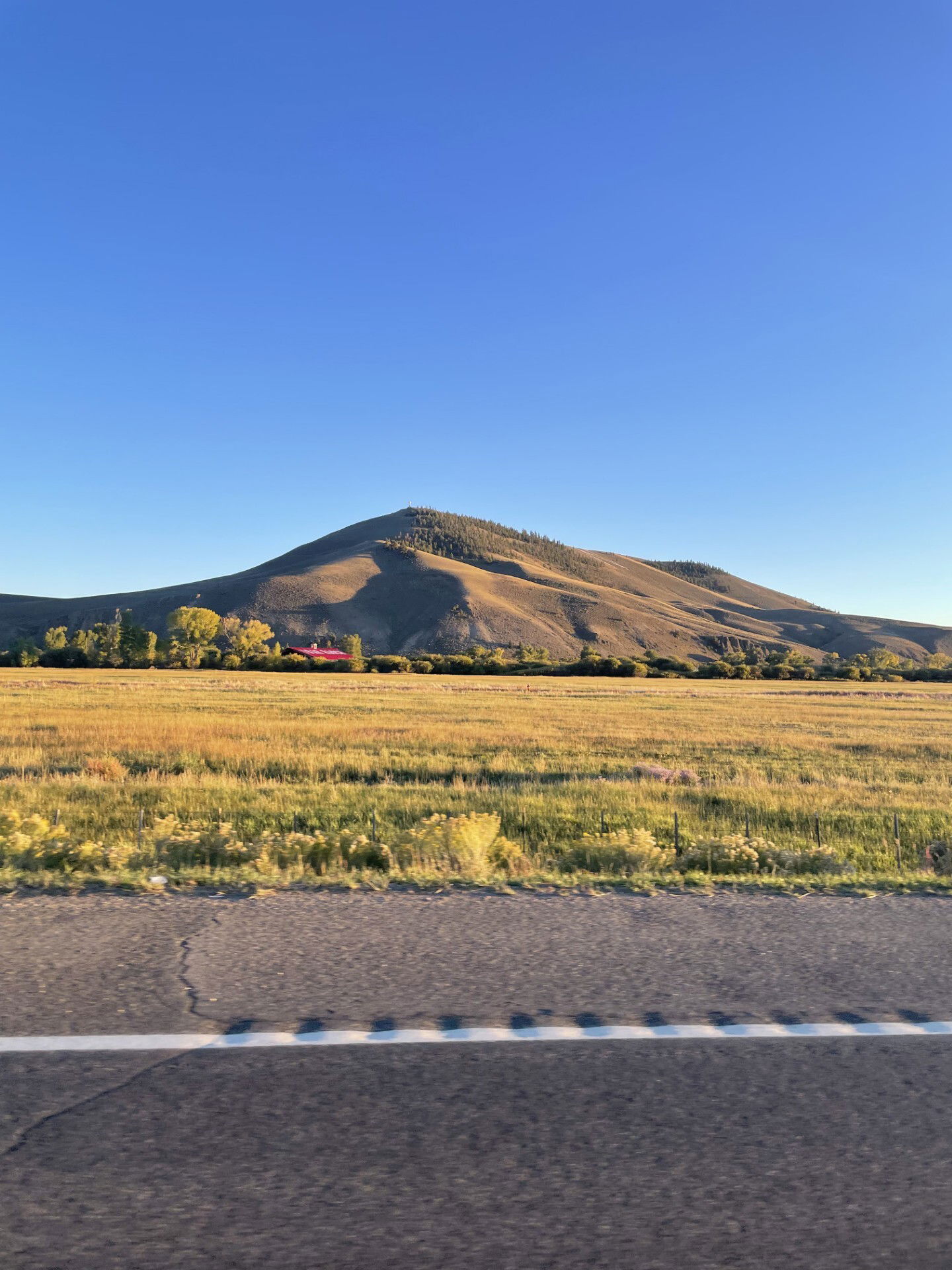
I got pretty close to the mountain by driving through jeep roads.
Looking to the south and my FJ Cruiser after gaining some elevation.

Summit Photo
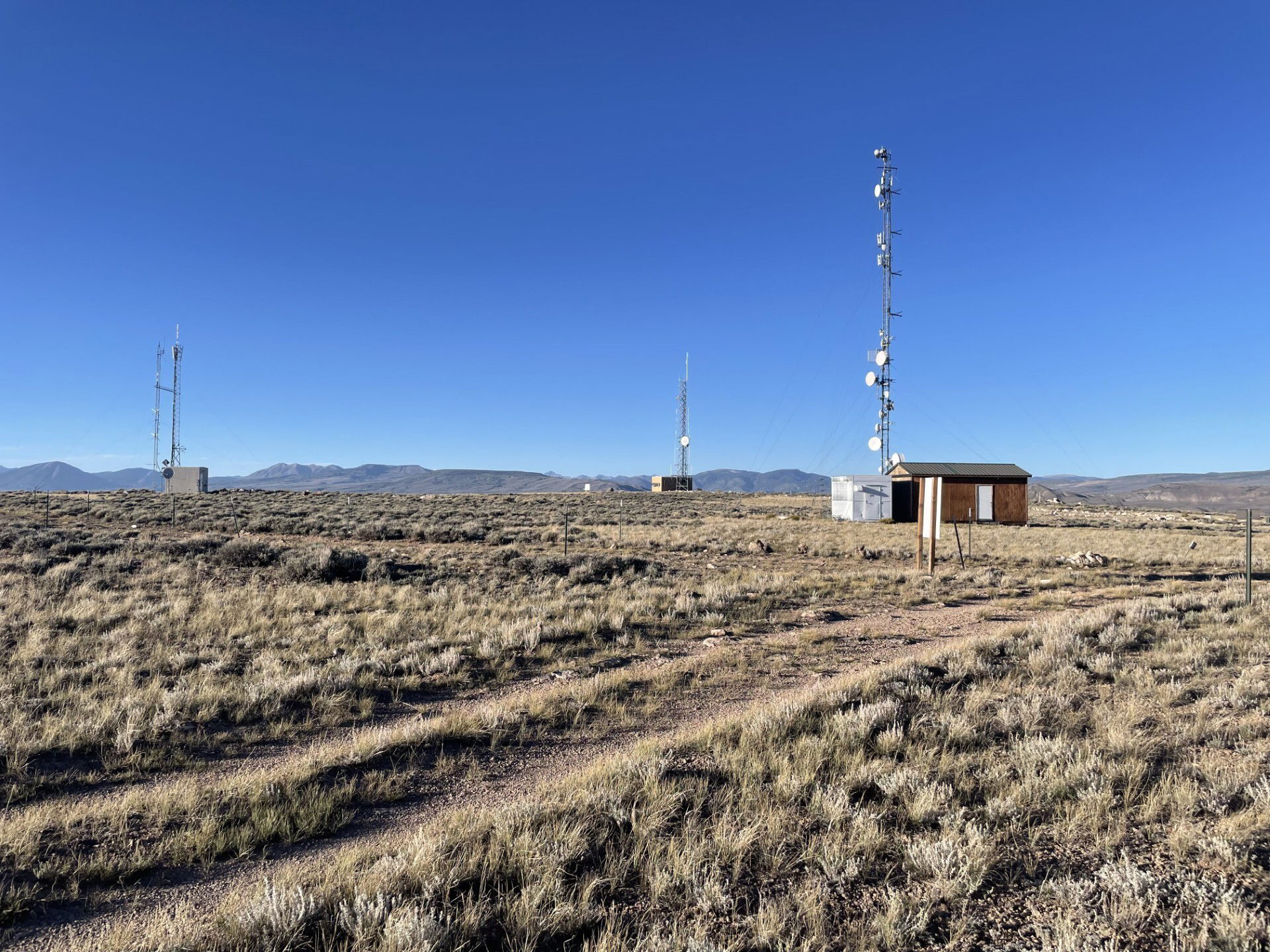
It is a flat mesa on top.

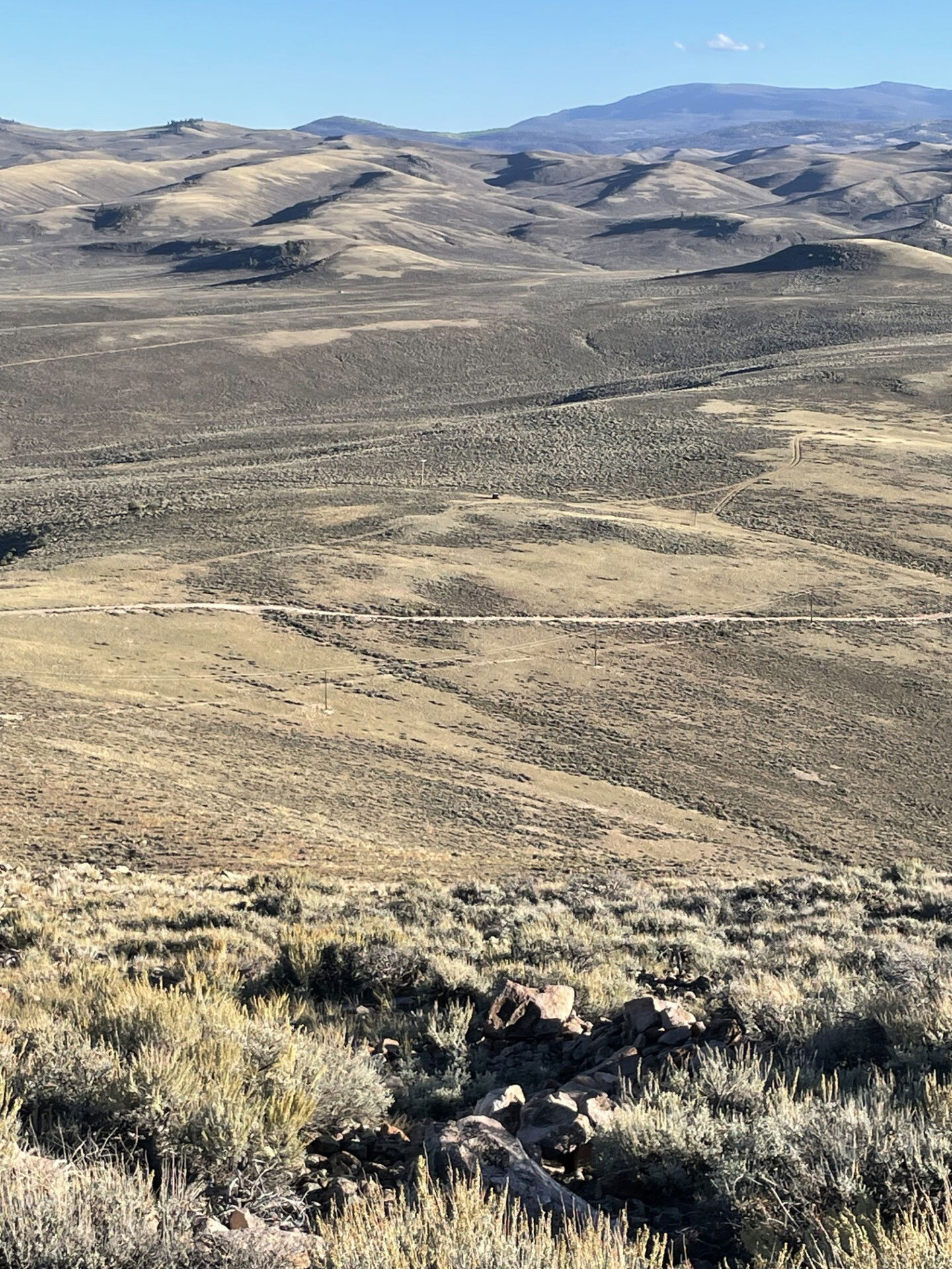
Views to the east from Tenderfoot Mountain.

Looking back at Tenderfoot Mountain after descending.

The back side of Tenderfoot Mountain on the drive out.
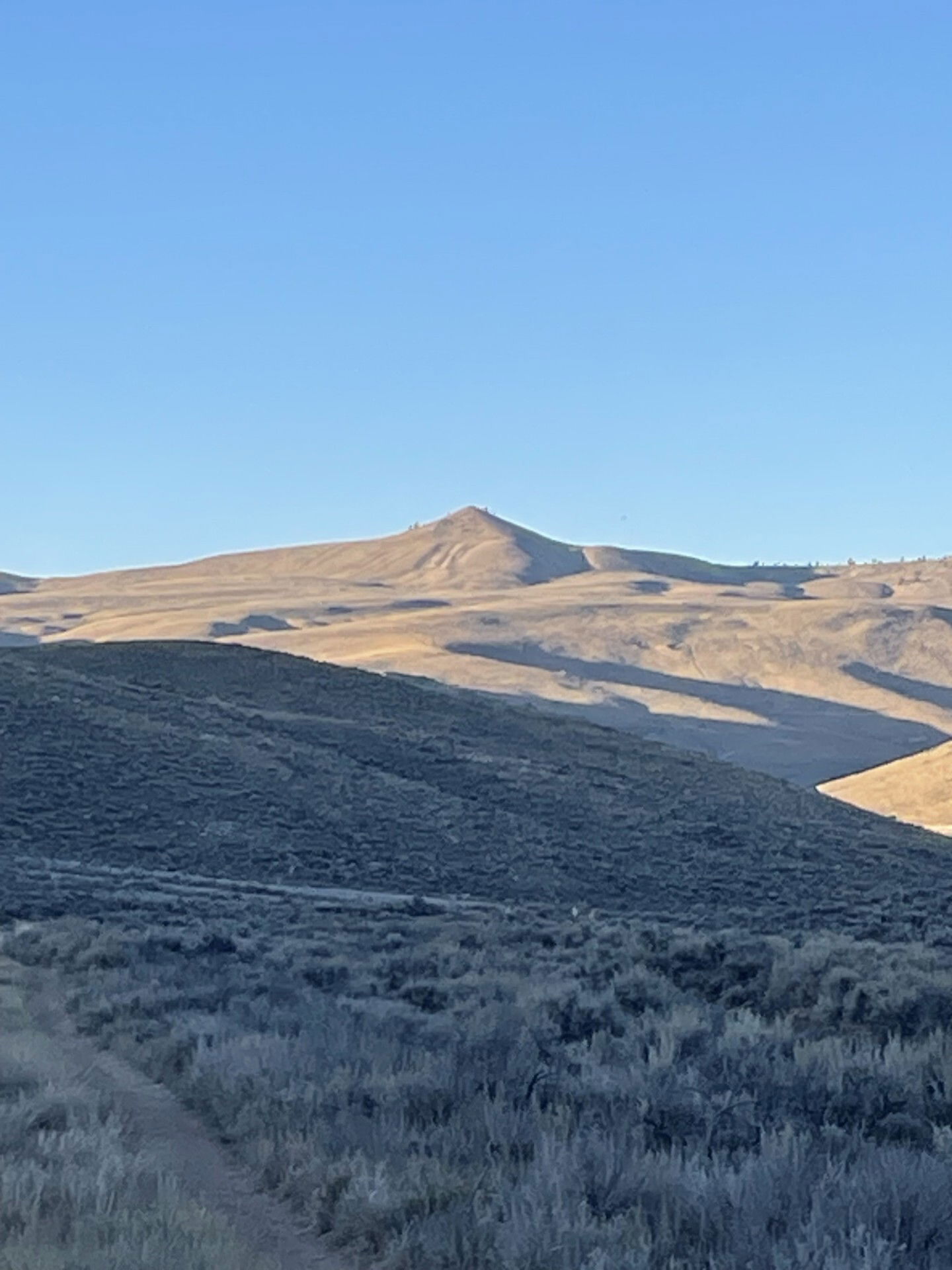
Signal Peak on the drive out.
Tenderfoot Mountain from the north.